The journey starts from the foothills as way make head north from Shimla, now over populated with tourists but still retaining its colonial underpinnings & charm of a splendid hill station. We take the route to Rampur Bushahr and before descending in altitude we gain to see the towns of Kufri and Narkanda and the endless apple orchards along the way. We continue on the Recong Peo state highway all the way upto Wangtu from where the road to Kafnu takes a steep ascent, with the hill side covered in concrete, marking the huge hydel power projects in the valley above. Kafnu is a small settlement with most residents depending on the hydel power projects for their livelihoods. We check in to one of the very few guest houses or a home stay here depending on availability and personal preference.
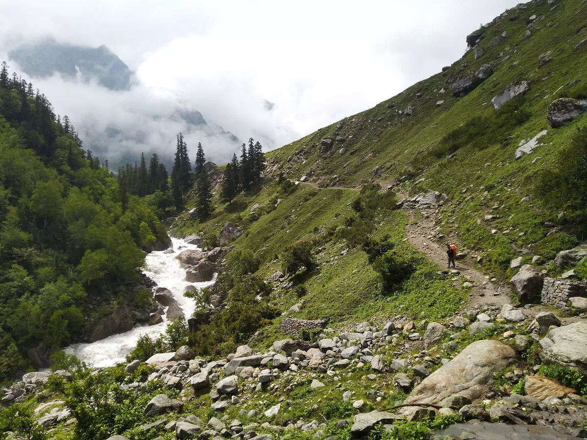
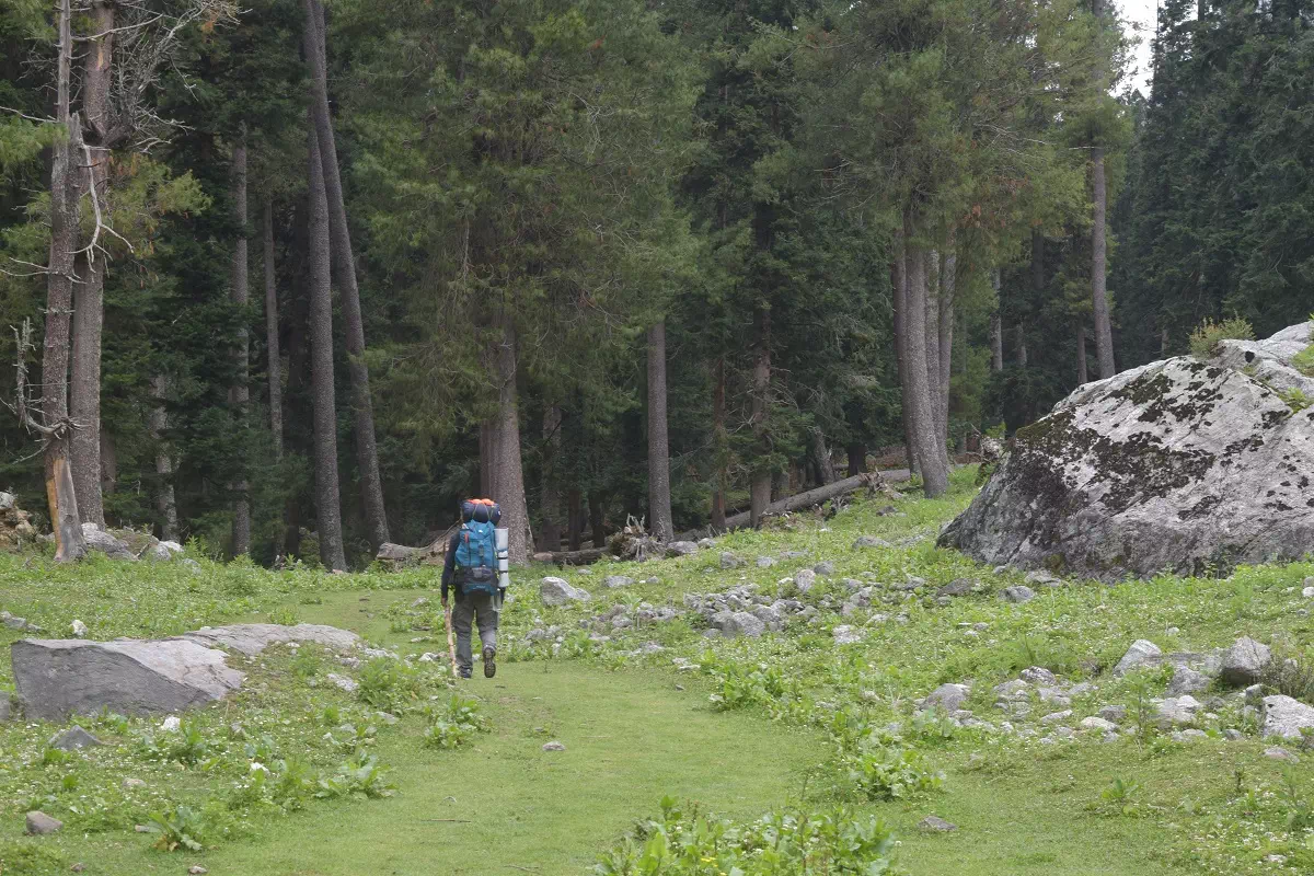
The day starts early as we rise to start our first trekking day. Post breakfast we leave Kafnu behind and take the northward road across the village, beyond the dam and continue for 4 KM’s until we arrive at an under contruction electricity project with a few heavy vehicles passing by, and at first it may not be as pleasing a start as expected but the things take a turn quickly as we reach the end of this motorable section as it turns left and crosses over to the true right of the river, but we continue straight with the river staying on our left side for the day. The trekking trail paves way for a beautiful landscape as we shuffle between pine forests and small meadows. Wild strawberries can be found in abundance almost midway of our journey today.
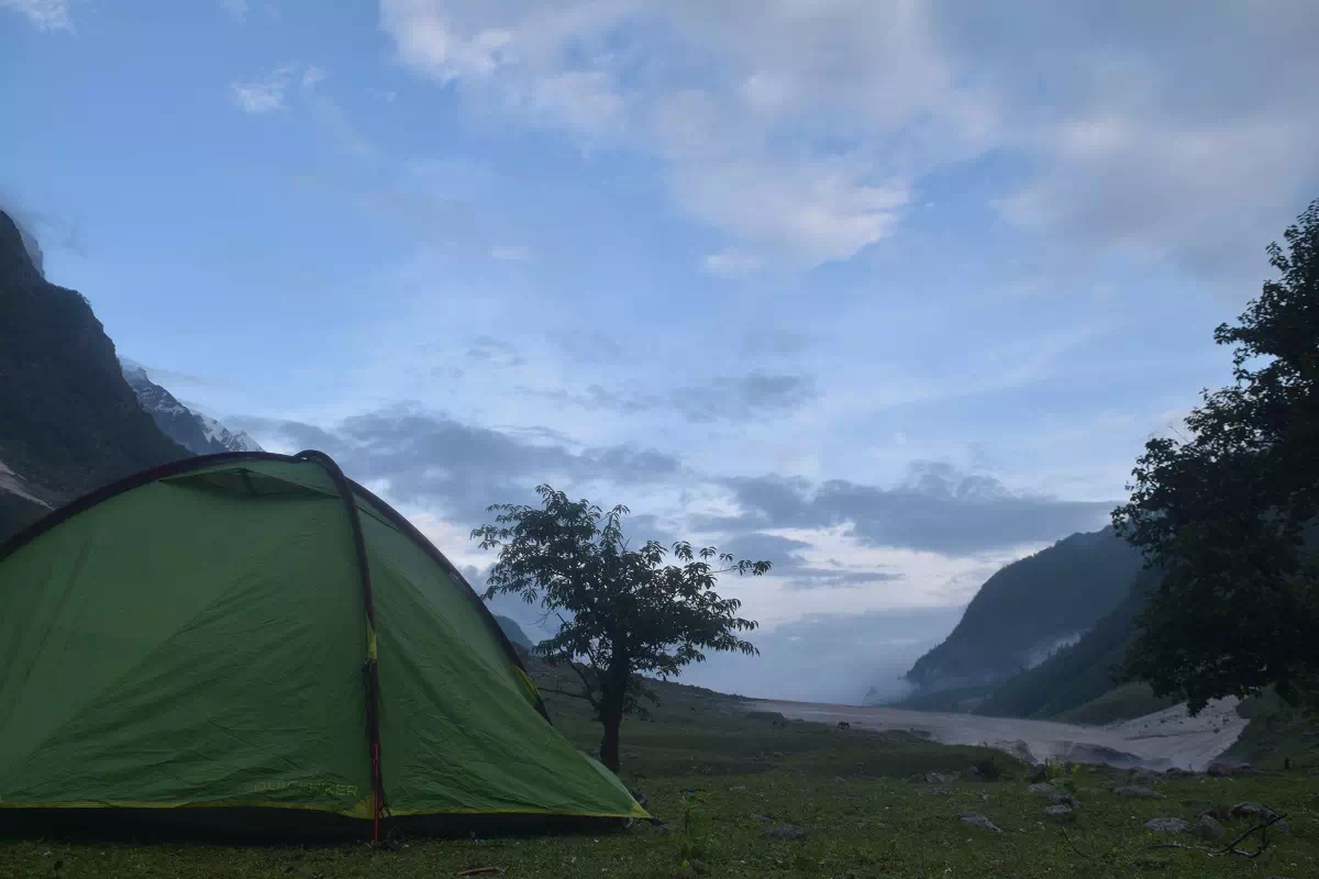
The arrival of Mulling is rather abrupt. As soon as you make it across a steep but short section of boulders the trail suddenly opens up into a vast meadow spanning as far as the eyes can see. There is a forest hut almost a KM ahead and visible, and the camping grounds extend further upstream, for upto 2.5 KM ahead of this hut and we can choose to camp at anywhere across this section. While most groups camp near the landmark, we prefer to go ahead, to find more seclusion and cut short the next days journey. A huge boulder amid scattered silver birch trees, a perfect camping spot with the opportunity for some low intensity bouldering.
Today our journey to Karah is an easy one and we can start the day without a hurry. After breakfast we set out into the scattered forest ahead of us gradually climbing up the trail, with small boulders all across to catch our breath. After less than 2 KM on the trail we come across a beautiful camp ground with small streams cutting across. The trail slightly descends towards the river ahead of its confluence with another stream coming from the north west. We cross the river either over the boulders at this spot, exhibiting the phenomenon of subterranean river, where the river basically flows under ground. These boulders are generally covered with snow during the early summer months, forming a snow bridge.
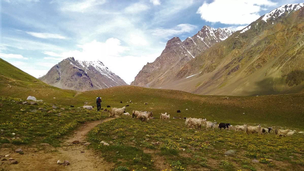
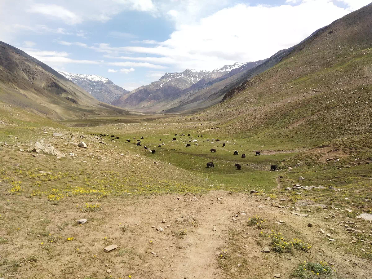
The trail after crossing the river is steep for a short duration and we start heading in the north east direction. After some traversing across the zig zag trail we finally arrive at a junction from where the trail becomes gradual and we can see all the way ahead of Karah for up to 3 KM. We continue towards these pastures where we are likely to find shepherds and their flock.
On the third Trekking day, the excitement is high as we start the day by crossing the river. Albeit the river is segmented into 4-5 smaller streams, making it less challenging, it can be an adventure for some. Especially if it has been raining upstream or if anyone crosses it during evening. Our teammate Abhishek on his trek to Pin Bhaba along with a friend in Alpine style, in July 2019, encountered both the situational scenarios at once, where they crossed the streams during evening when it was raining upstream, which made him describe it as a profound challenge, making them want to turn back after crossing the first two streams, albeit they decided to continue and cross the rest 3.
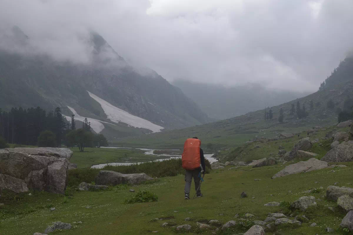
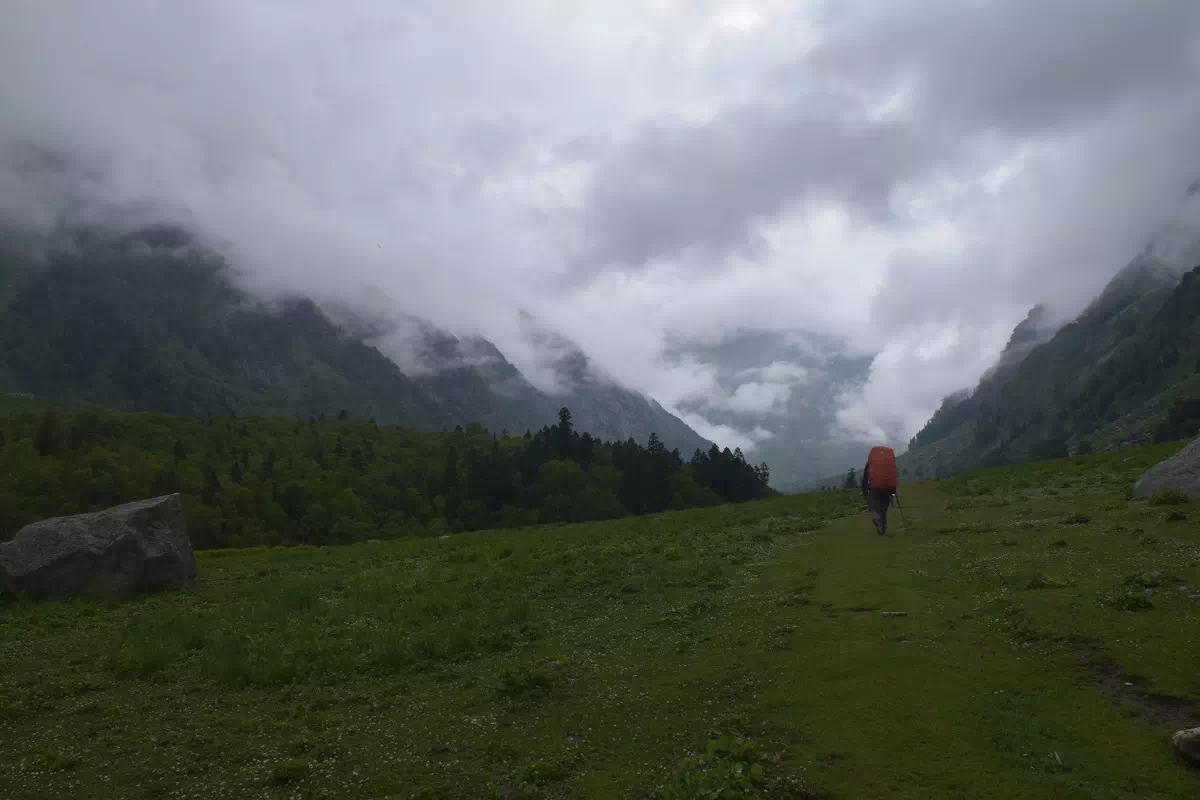
After the stream crossing we are again to the true left of the river and continue in the north direction for some while, gaining altitude gradually, and the trail starts to turn slightly towards the west. The trail is steep on either sides for another 2-3 KM before some viable camping spots with boulders scattered all across. Continuing on this trail we finally arrive at the Phutsirang camp site, which requires descending slightly for the last 200 meters.
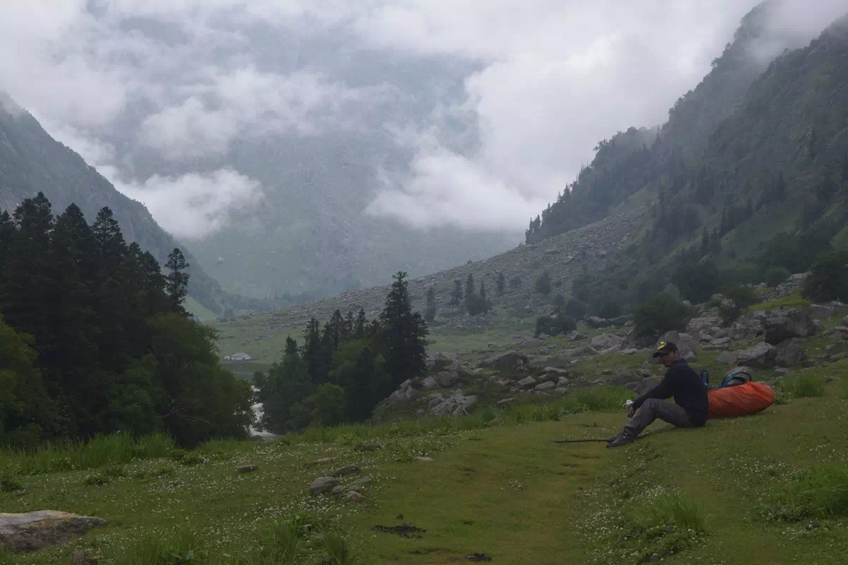
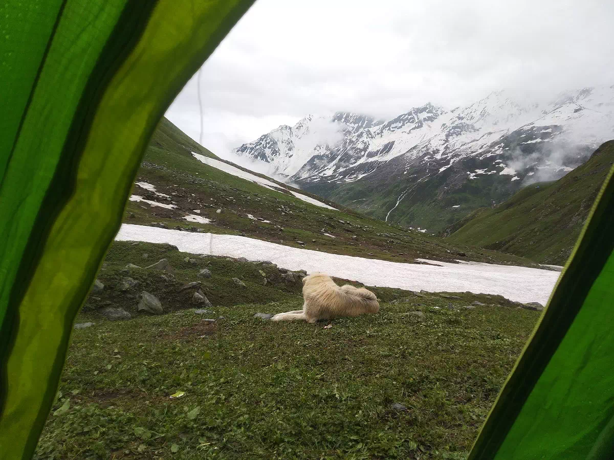
Today we rest and acclimatize at Phutsirang as the consecutive days’ journey will be an arduous one. We can stay at the campsite basking in the sun or preferably hike up to the river delta less than a KM ahead. Rest, Replenish and Recover is our objective for the day. Early dinner around sunset and the importance of a sound sleep can make a huge difference for our pass crossing.
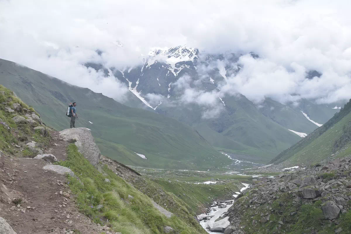
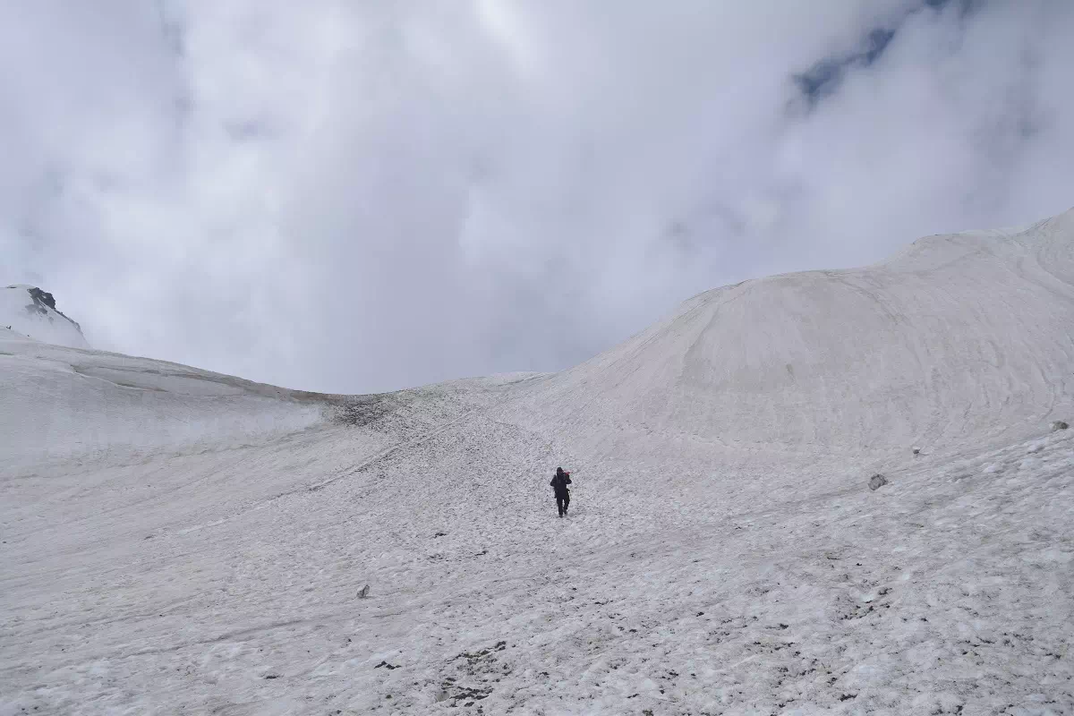
The trek of Mangrungse via Pin Bhaba is a big challenge owing to both the altitude gain and the significant distance after crossing the pass. We must start the day before the dawn and start climbing towards the pass to compensate for the duration and avoid any weather changes which usually happen post afternoon. The climb beings from the Phutsirang camp itself and it is recommended to warm up prior to starting the day or at least take it easy taking short steps as we start trekking. After spending over 1.5 to 2 hours we are ahead of the scree zone which is a difficult and slightly dangerous stretch. We arrive at a relative flat ground which is covered in snow for most part of the year and can be used as an advance camp in case of a small group, and is camped at by shepherds. The climb from this campsite takes another 2 hours.
After reaching the pass, we rest and enjoy the views and are able to see the stark change in the valley across with the colors of Spiti already showcasing their vivid charm. We quickly loose altitude and it is a long journey to the Mangrungse campsite. We are now walking along side the Pin river and depending on the month which we are trekking we may have to cross the river to get to its right or we may be lucky enough to cross it over a snow bridge. The trek to Mangrungse campsite can take 4-5 hours as the trail is steep initially mix with glacier, scree, boulders & few small crevasse, so be sure to follow your guide. Mangrungse camspite is at the confluence of another valley which descends down from the Pin Parvati pass and the trail can be seen in the distance across the river on the opposite side.
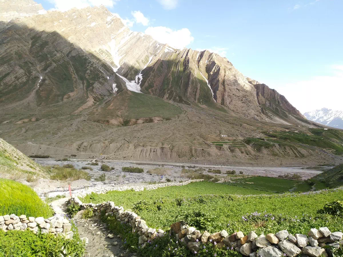
The last day of the trek features remarkable twists in landscape as the colors of Spiti are ever changing as far as the horizon. The long distance is time consuming but the low gradient makes it easier. We come across flocks of Sheep and Yaks on the way and the river crossings have wooden bridges, which make the journey easy. Apart from the short ascent from Mangrungse campsite to get back on the main trail and slight elevation gain at Bara boulder, 4 KM ahead, we descend all along the way to Mud, where a final uphill hike takes us right into the village. Mud is a small village with beautiful terraced fields striking a contrast with the desert landscape of Spiti. The trek concludes with a rewarding end. The drive further to Kaza takes another 2 hours and we can reach by early evening to check into one of the hotels or hostels. It is worth spending 2-3 days in Kaza to explore nearby destinations such as Key Monastery, Hikkim, which boasts the worlds highest post office, and other prominent places.

Abhinav Singh –
A wonderful experience, the trek was meticulously planned and well organized, The campsite was different than the regular route on day 1 and a better choice. It cut short the next days journey and we were alone in the vast meadow with a huge boulder that we did some bouldering on. Would love to plan a trek again with Himalaya Shelter
Verghese S –
There were 11 of us in the group. It was the only batch that the organizer had for the entire season. Services were 5 star, with a lot of detail to everything. food was awesome and we were even served gulab jamun in dinner and we did not expect such delicacies on a high altitude trek. the itinerary was somewhat different than others which did help us eventually. all things went smoothly from the start until the end of the trek. Thank you for the support team.