40 Famous Mountain Passes in Uttarakhand
A brief list of High-Altitude Passes across Uttarakhand
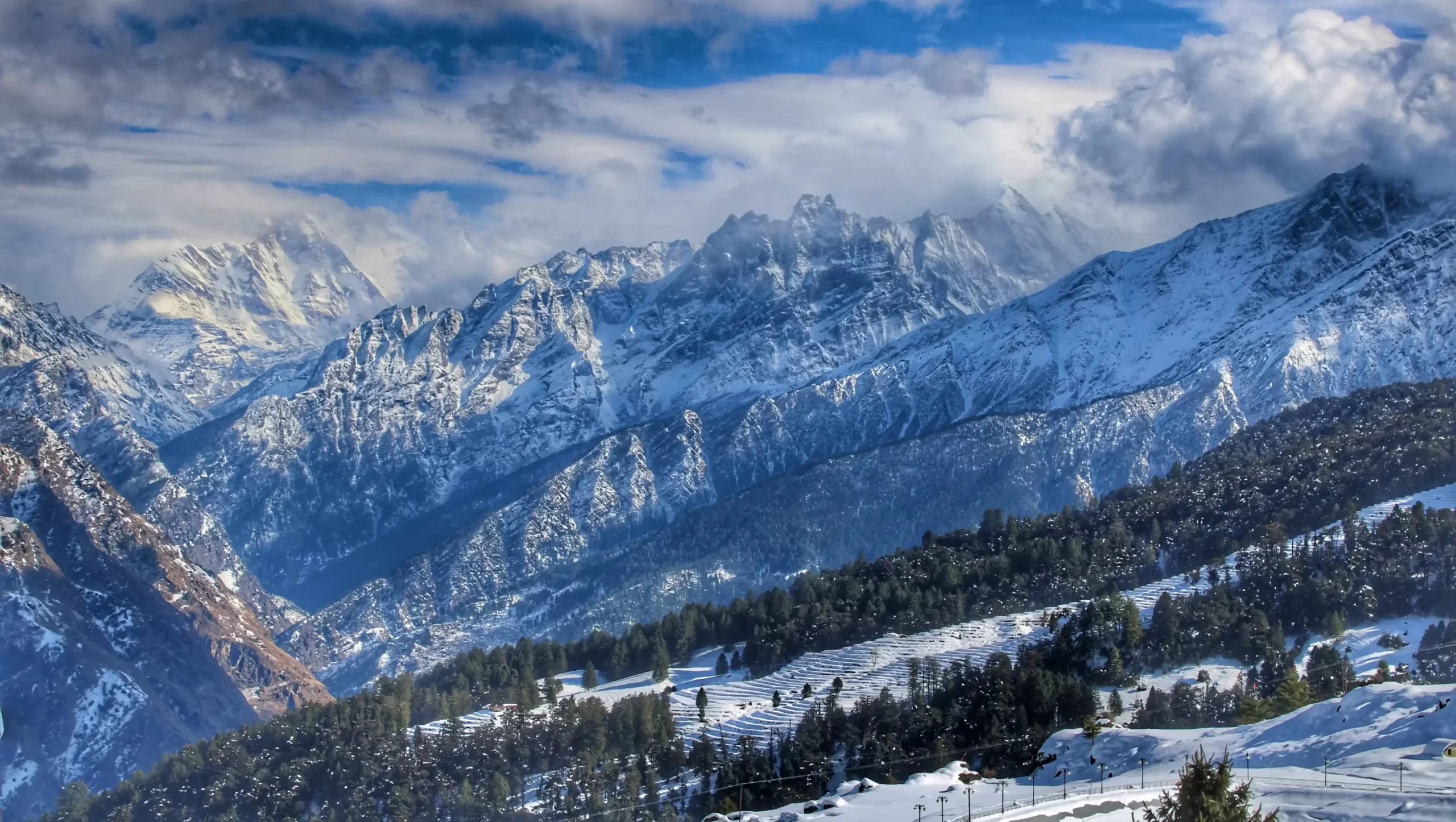
Mountain pass by definition, is a navigable route through a mountain range or over a ridge. From thousands of years, mountain passes have been used to cross towering walls of rock and ice. They have played a crucial role in amalgamation of cultures, trade, migration and travel.
Mountain passes, though seldom utilized in the former ways, continue to attract adventure lovers. They comprise of some of the most challenging treks in India. Often connecting two different communities speaking totally different languages, passes take us to some of the most remote regions deep inside the Indian Himalayas. From watching enormous Himalayan peaks to walking on crevasse-ridden glaciers, they are meant for the brave-hearted.
Col is the lowest point on a mountain ridge between two peaks. Most of the cols require climbing techniques for crossing. The ones listed here along with mountain passes are trekkable. Many of them still need basic knowledge and skill of mountaineering.
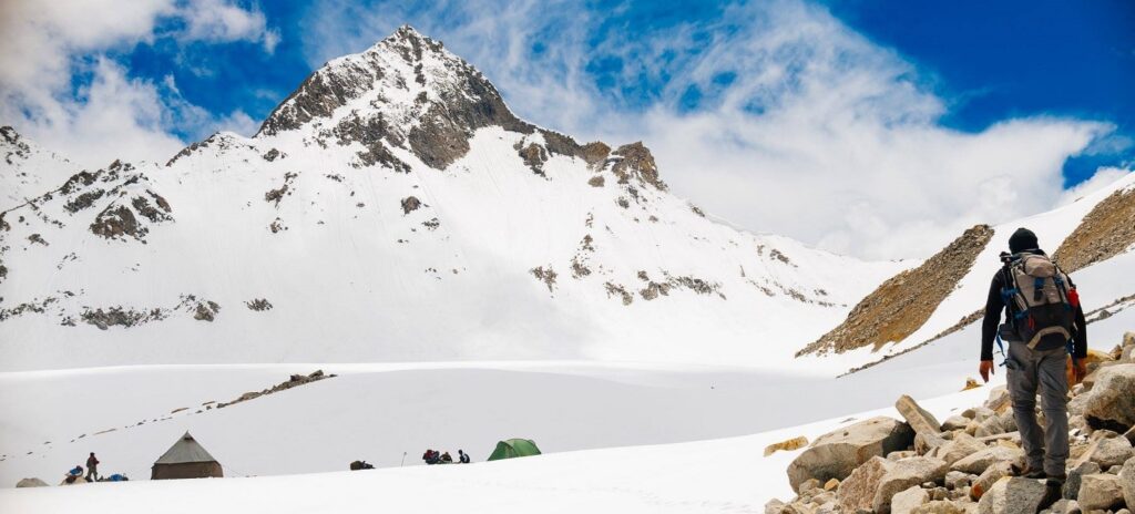
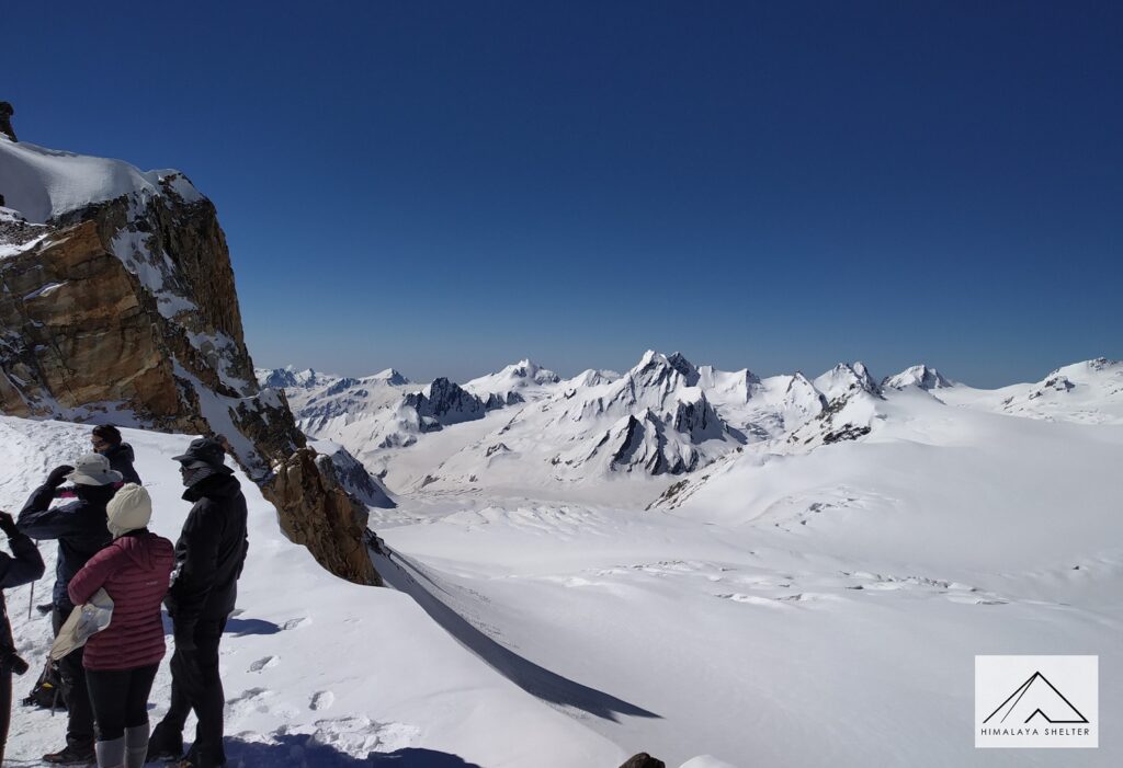
The state of Uttarakhand is a treasure trove for trekkers and climbers. Some of the mountain passes and cols here are so difficult and inaccessible that years go by before anyone crosses them. Here is a list of mountain passes and trekkable cols in Uttarakhand (the list is not exhaustive):
1. Rupin Pass | 4,690 meters
The route of this trek follows the river Rupin upstream. One can witness the Garhwali culture as well as the Kinnauri culture in either side of the pass. There is a stark difference between the two and the most prominent indicator is the style of houses. Though easier compared to most of the other members of the list, this trek provides entirely different but beautiful views on each day. The trek starts from Dhaula in Govind National Park and crosses over into Himachal on third day of Trek ahead of Sewa village. The last village of Jakha is renowned for its beauty and location, termed as a hanging village for the steep slopes it is located on. Although much of the route & the pass itself technically lies in Himachal, its proximity to Govind Wildlife Sanctuary & the fact that it runs parallel to the likes of Borasu pass, had us include this trek in this list. The trek is known for its campsites, among the most beautiful in India & the numerous waterfalls. It ends at Sangla in Himachal.
2. Nalgan Pass | 4,500 meters
Another one of the passes connecting Garhwal to Kinnaur, Nalgan Pass is a rarely traversed route quite close to Rupin Pass. The route can include Baraadsar Lake and a short detour includes Kanaasar Lake. These are some beautiful and least visited high-altitude lakes.
3. Borasu Pass | 5,360 meters
Borasu Pass connects Har ki Dun to Kinnaur. One gets to cross crevasse-ridden glaciers and steep rocky patches to reach the pass. The stream on the Kinnaur side is lined with flower beds from late summer. It is a perfect route for those willing to switch to a difficult and remote trek. Starting from Sankri (Taluka) the trek follows the magnificent Har Ki Dun valley Trek all the way upto Marinda Tal & gradually gaining altitude before crossing over into Himachal and concluding at Chitkul, known well as the last village of India along the Kinnaur road route.
4. Bali Pass | 4,900 meters
Bali Pass is a pass between Har ki Dun, Ruinsara Valley, and Yamunotri. Bali Pass provides magnificent views in the Ruinsara valley. The entire south face of the Swargarohini group is visible in this trek, along with magnificent views of the Bandarpunch Massif as we descend the pass towards Yamunotri, which at times may require reaching a sharp ridge top, similar to a summit, rather than a pass itself.
5. Lamkhaga Pass | 5,300 meters
One of the most difficult of the passes between Kinnaur and Garhwal, Lamkhaga pass offers some breathtaking landscapes on both sides. It is a crossover between Chitkul and Harsil (the latter is close to Gangotri) and can be done from either of the villages. It starts from Chitkul and after a difficult river crossing we are rendered into the wild interiors of Upper Himalayas.
6. Singha Ghati pass | 5,090 meters and Khimloga Pass | 5,712 meters
These are some of the least documented and less known passes between Garhwal and Kinnaur. Tapan Pandit and his team have explored and completed these.
7. Junargali Col | 4,880 meters
Junargali lies in very close proximity to the very popular Roopkund Lake. After a steep cross section from Roopkund, the Junargali col connects over to Shila Samudra glacier and Homkund, which harbors a very unqiue and remote landscape. The route is immensely popular only upto Roopkund, from where trekkers used to return back to Didina valley via the vast Bedni and Ali bugyals. However the crossover adds a very interesting twist, but is not for the faint hearted with abundant crevasse and moraine fields on the other side.
8. Fachu Kandi Pass
A rarely explored route by trekkers, but one that has been frequented historically by locals of the Har Ki Dun valley. This pass connects Har Ki Dun Valley to the Yamunotri valley, similar to Bali Pass, but instead connecting Sankri to Hanuman Chatti. The pass is moderate in altitude, towering to a maximum altitude of 4,230 meters, but it is a unqiue crossover as it involves stretches of ridge walking and exposed trails running parallel to ridge line in sections, at places even dwarfing the serenity of the likes of Roopkund trek. Starting from Sankri we visit Juda ka Talab and consequently even Kedarkantha can be summited or we can directly proceed to Pushtara Meadows via Phulara ridge. Essentially this trek can combine 4 different trekking routes in one. First being Kedarkantha, second being Phulara Ridge – Pushtara, third – Sarutal (a glacial lake) & finally the pass itself.
9. Dhumdhar Kandi Pass | 5,500 meters
One of the most difficult routes in Uttarakhand, this trek takes one to the common base camp of Swargarohini and Black Peak, and also to camp 1 of Black Peak. The pass is avalanche prone, with rock falls zones and risky and requires good experience of difficult treks. It can be considered more of an expedition than a trek itself. This trek starts from Sankri (Taluka) and follows Har Ki Dun trek until Osla, the last village along the route & takes an eastward turn towards Ruinsara Lake. It can be clubbed with Har Ki Dun if you can spare another day or two. The 10-day trek concludes at Jhala near Gangnani.
10. Darwa Pass
Darwa Pass is a classic route between Yamuna and Bhagirathi valleys. The trek includes Dodital on the way and the trail is often through lush vegetation and forests. Though short in duration, it is considered to be a difficult trek.
11. Kalindi Khal | 5,950 meters
Kalindi Khal is a high col with one of the most challenging routes in India. It connects the sacred pilgrimages of Gangotri and Badrinath. One gets to trek in close proximity of some renowned Himalayan peaks like Shivling, Meru, Bhagirahti group, Kedar Dome, Nilkantha, Chandra Parvat and Avalanche Peak. Kalindi khal trek passes through meadows, moraines, glaciers, rivers, and a lake.
12. Auden’s Col | 5,490 meters
A challenging trek connecting the pilgrimages of Gangotri and Kedarnath, Auden’s col promises spectacular views. The challenges are physically demanding require prior experience of difficult and high-altitude treks. The Gangotri group of peaks are quite closely visible.
13. Bamsaru Khal | 4,600 meters
This trek takes one to a virgin valley. A number of Himalayan peaks are visible from the route. The trails pass over untouched meadows.
14. Mayali Pass | 5,400 meters
This is another trek which connects Bhagirathi Valley to Mandakini valley (apart from Auden’s col). Some beautiful landmarks on this trek are Sahastra Tal, Kush Kalyan plateau and Masar Tal. Peaks on the southern side of Gangotri glacier are visible in this trek.
15. Kanakata pass | 4,548 meters
The crossing of Kanakata pass is a part of Sunderdhunga valley trek. It offers magnificent views of peaks like Maiktoli, Mrigthuni, Panwali Dwar and Tharkot. The added bonus of dense forests, remote Kumaoni villages, glacial lakes make this an amazing trek.
16. Panpatia Col | 4,548 meters
The legendary route between Kedarnath and Badrinath, Panpatia col was opened by the mountaineer and former IMF leader Debabrata Mukherjee. This route is one of the riskiest in Garhwal, owing to the hidden crevasses and unpredictable weather. The trek passes through the vicinity of some beautiful giants like the Chaukhamba massif and Nilkantha.
17. Bhyundar Khal | 5,100 meters
The less trodden route ahead of Valley of Flowers leads to Bhyundar Khal. Trekkers encounter moraines, rivers, icefall, deep crevasses, glacial streams, meadows, flower fields and glorious view of Himalayan peaks. This trek is again a challenging one.
18. Gupt Khal | 5,835 meters
Gupt Khal, which translates to ‘secret col’ was discovered by Frank Smythe on his expedition to Mount Kamet. The trek crosses the Bhyundar Khal first and then the route diverges. This is one of the least traversed passes of Uttarakhand. Basic knowledge of mountaineering is required for this journey since it has the risks of hidden crevasses and falling icefalls. One gets to walk over gigantic ice fields and to untouched and remote interiors of the Indian Himalayas in this trek.
19. Kunth Khal | 4,500 meters
Another trek which can be combined with Valley of Flowers, Kunth Khal was closed for 45 years and has been opened for trekkers only in 2016. The ridge to the pass is full of the flower Brahma Kamal.
20. Kuari Pass | 3,820 meters
Possibly the easiest among the trekking passes in the list, Kuari Pass provides trekkers an amazing view of some of the highest peaks of Uttarakhand including Nanda Devi. The original route is a crossover between Joshimath/Auli and Wan, and can be combined with Roopkund trek. The itinerary is usually shortened these days and the trek returns back to Joshimath/Auli.
21. Kankul Pass | 4,950 meters
22. Barmai Pass | 4,900 meters
These two passes are crossed during the trek to Kagbhushandi lake. This trek is an off-shoot of Valley of Flowers and can be combined with it. The lake is considered sacred and is quite remote. One can come across Himalayan wildlife, including bears in this trek.
23. Yeonbuk Col | 4,635 meters
24. Bishali Col | 4,650 meters
25. Mahapanth Col | 4,600 meters
These three Cols are traversed in the Mandani Valley trek. The pilgrimages of Madhyamaheshwar and Kedarnath are connected by this trek. The combination of such high-altitude passes within the span of two days makes it a difficult trek.
26. Dharansi Pass | 4,250 meters
The trek to Dharansi pass takes one into the extremely unapproachable ‘Nanda Devi Sanctuary’ via the route opened by Bill Tilman and Eric Shipton in 1934. Beautiful meadows and valleys line up the trek, while towering peaks surround you.
27. Mana Pass | 5,610 meters
Mana Pass lies on the border between India and Tibet. It is the second highest vehicle accessible pass in the world (after Umling La (5,800 m) in Ladakh). Located 52 km north of Badrinath, traders between Uttarakhand and Tibet used this route from ancient times.
28. Niti Pass | 5,070 meters
Niti Pass is another vehicle accessible pass in the border between India and Tibet. This area is quite remote. The pass is ahead of the village of Niti. Access to these places need special permits. They also lie inside the Nanda Devi National Park.
29. Unta Dhura pass | 4,900 meters
Unta Dhura pass is crossed during the Malari-Milam trek. This trek traverses from Garhwal to Kumaon through an extremely remote region.
30. Traill’s pass | 5,400 meters
Ahead of one of the most popular treks of Pindari glacier lies one of the most difficult passes. Traill’s pass links the Pindari valley to Milam valley. It has been crossed by only about 17 teams since 1830. It is located between the peaks of Nanda Devi and Nanda Kot. The pass was named after George William Traill, the 2nd British Commissioner of Kumaon. The two connecting roadheads are Loharkhet and Munsiyari. This pass ascends to the Nanda Devi East base camp if starting from Loharkhet. A technical pass it requires both endurance and techincal skills to conquer.
31. Sin La | 5,495 meters
Another long and difficult trek, Sin la takes one to the area bordering between India, Nepal and Tibet, i.e. the eastern Uttarakhand, Kumaon. Connecting Bidang in Darma Valley to Jolingkong Lake in the Kuthi Yankti valley, this pass rises to over 18,000 feet with steep slopes on either side. One gets magnificent views of Panchchuli and Adi Kailash peaks on the route. Lush meadows, flower strewn trails, virgin forests and remote villages are some highlights of this trek.
32. Lipulekh pass | 5,200 meters
Lipulekh pass is a part of one of the routes to the pilgrimage of Kailash Mansarovar. It is an international pass shared by India, Tibet and Nepal. It has been used since ancient times by traders, pilgrims and travelers.
33. Nama pass | 5,200 meters
Nama pass connects the remote villages of Kuti and Sela. It lies in the northern part of Pithoragarh district. It is seldom used these days.
34. Lampiya Dhura pass | 5,540 meters
Lampiya Dhura pass lies in the Kuthi valley of Pithoragarh district and is again in the border between India and Tibet. It is one of the passes to Kailash Mansarovar trek.
35. Balcha Dhura pass | 5,338 meters
36. Mangsha Dhura pass | 5,490 meters
These two passes lie in the border between India and Tibet.
38. Tunjun Pass | 4,890 meters
It is another pass in a disputed zone between India and Tibet, in Dhauli Ganga Valley.
39. Ralam Dhura pass | 5,630 meters
This is a remote but beautiful and difficult trek from Munsyari to Darma valley.
40. Danu Dhura pass (Kafni Col) | 5,630 meters
This high pass lies between Nanda Devi and Nanda Kot peaks. It requires fixing of rope and knowledge of mountaineering to cross this pass.
1 comment
Leave a comment
Related Blogs
September 28, 2023
8 Essential Safety Tips for Trekking in the Himalayan Mountains for a Safe Journey
Trekking in the Himalayas offers a unique experience, combining imposing peaks, serene valleys, and diverse cultures. Preparation and safety are crucial.
Read more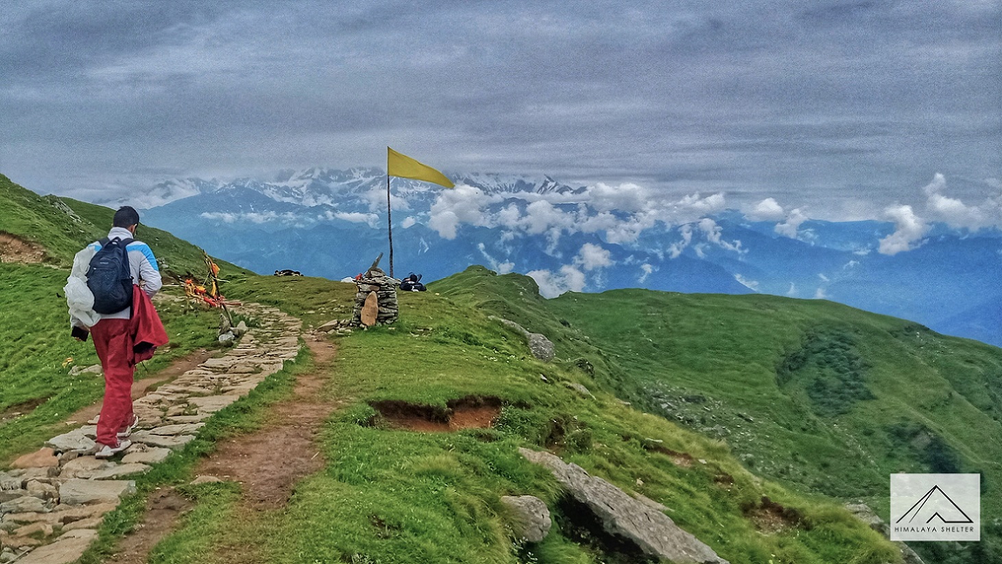
September 25, 2023
14 Best Destinations for Spiritual Trekking in the Indian Himalayas
Explore the divine heights of the Indian Himalayas with our guide to the 14 Best Destinations for Spiritual Trekking.
Read more
September 22, 2023
Solo or Group Trekking in the Himalayas: Which is Best for You
Explore the pros and cons of solo and group trekking in the majestic Himalayas to find out which suits your trekking style best.
Read more
September 22, 2023
13 Best Himalayan Treks To Do in October, November, and December in India
Discover stunning treks to do in Himalaya in October, November, and December in India.
Read more
September 18, 2023
Himalayan Trekking Permits: A Complete Guide for Adventurers
Explore our comprehensive guide to Himalayan Trekking Permits, designed for adventurers like you.
Read more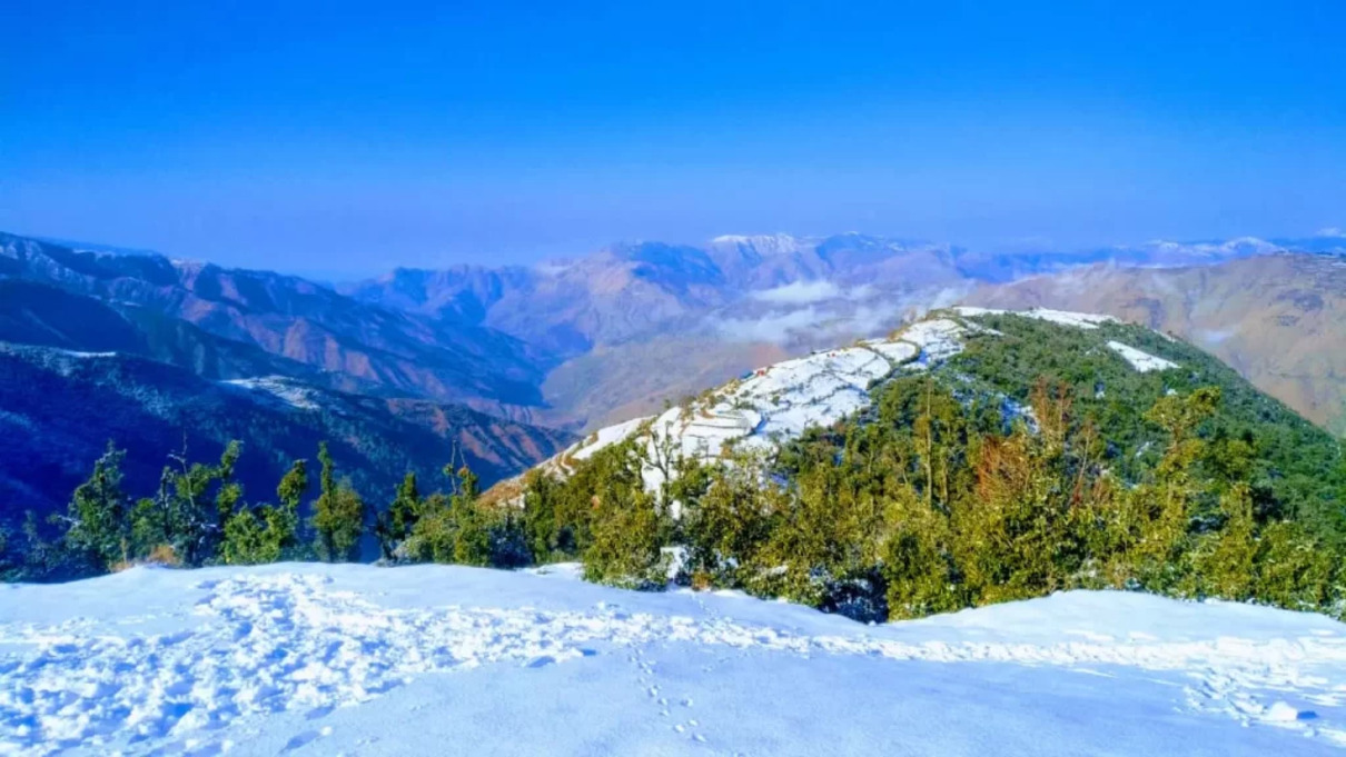
September 18, 2023
Discover the Top 15 Trekking Places in Kashmir in 2023 From Lakes to Peaks
Discover the top trekking places in Kashmir featuring stunning lakes and towering peaks.
Read more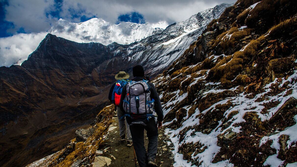
August 23, 2023
Discover the Must-Have Hiking Essentials for Beginners in the Himalayas
Prepare well for beginner Himalayan treks: essentials, best routes, high altitudes, fees, and cultural immersion for a secure adventure.
Read more
August 18, 2023
Understanding Acute Mountain Sickness: Causes, Symptoms, and Treatments
Discover the causes, symptoms, prevention strategies, and effective treatments for Acute Mountain Sickness (AMS).
Read more
August 16, 2023
10 Stunning Treks Near Manali, Himachal Pradesh in 2023
Explore Himachal's stunning landscapes with thrilling Manali treks. Experience extraordinary walks amidst magnificent mountains and serene roads.
Read more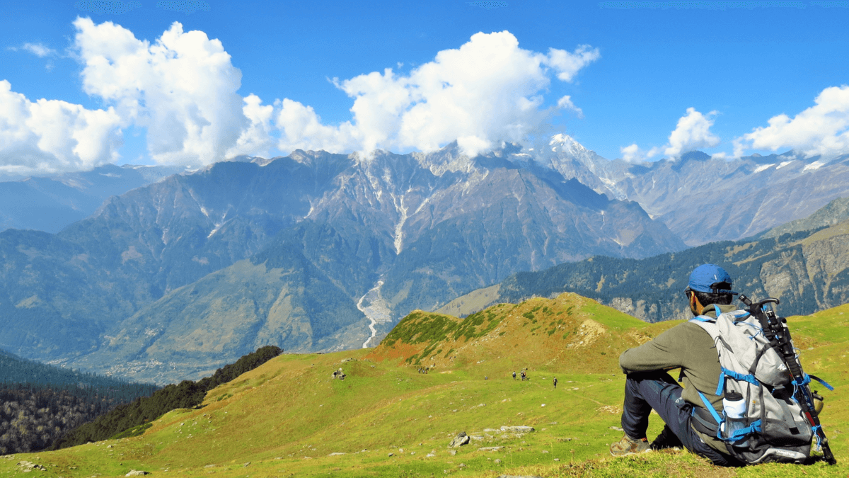
August 14, 2023
9 Best Short Treks in Uttarakhand for 1, 2, or 3 Days for a Weekend Escape
Explore Uttarakhand's stunning weekend getaways with short treks, immersing yourself in nature's beauty and adventure on these breathtaking trails.
Read more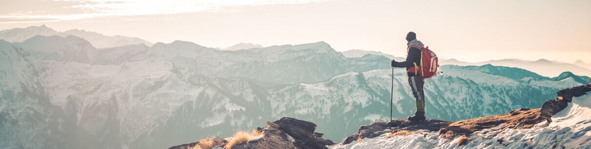
August 9, 2023
10 Toughest and Most Difficult Treks in India in 2023 to Push Your Boundaries
Discover the toughest and most difficult treks in India and test your endurance in the breathtaking landscapes of the Himalayas.
Read more
July 25, 2023
11 Best Places to Visit in Sonamarg, Things to Do & Attractions
Sonamarg, in India, captivates with its stunning landscapes. Nestled in Kashmir, it's a serene haven for nature and adventure enthusiasts.
Read more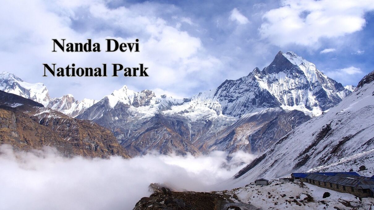
July 24, 2023
Nanda Devi National Park, Uttarakhand - How To Reach, Best Time to Visit
Nanda Devi National Park, in Uttarakhand, India, is a UNESCO World Heritage Site known for its stunning Himalayan landscapes.
Read more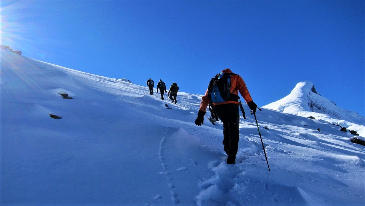
July 19, 2023
15 Best Himalayan Treks for Beginners in India in 2023
Discover beginner-friendly treks in India's Himalayas. Experience breathtaking mountain beauty, push limits, and connect with nature in stunning landscapes.
Read more
July 18, 2023
Top 15 Highest Mountain Peaks of Uttarakhand in 2023
The state of Uttarakhand boasts of two of the top three mountains in India. Read the blog to find out about the famous peaks of Uttarakhand...
Read more
September 10, 2021
Why Is Hydration Important during Himalayan Treks?
Garhwal Himalaya offers thrilling treks. Hydration is crucial, and it's essential to drink water regularly, even in colder temperatures.
Read more
February 1, 2024
Why Bali Pass Should Be Your Next Trek?
Why Bali Pass Trek should be your very next trek? The complete guide. This artiucle has answer of almost all your questions.
Read more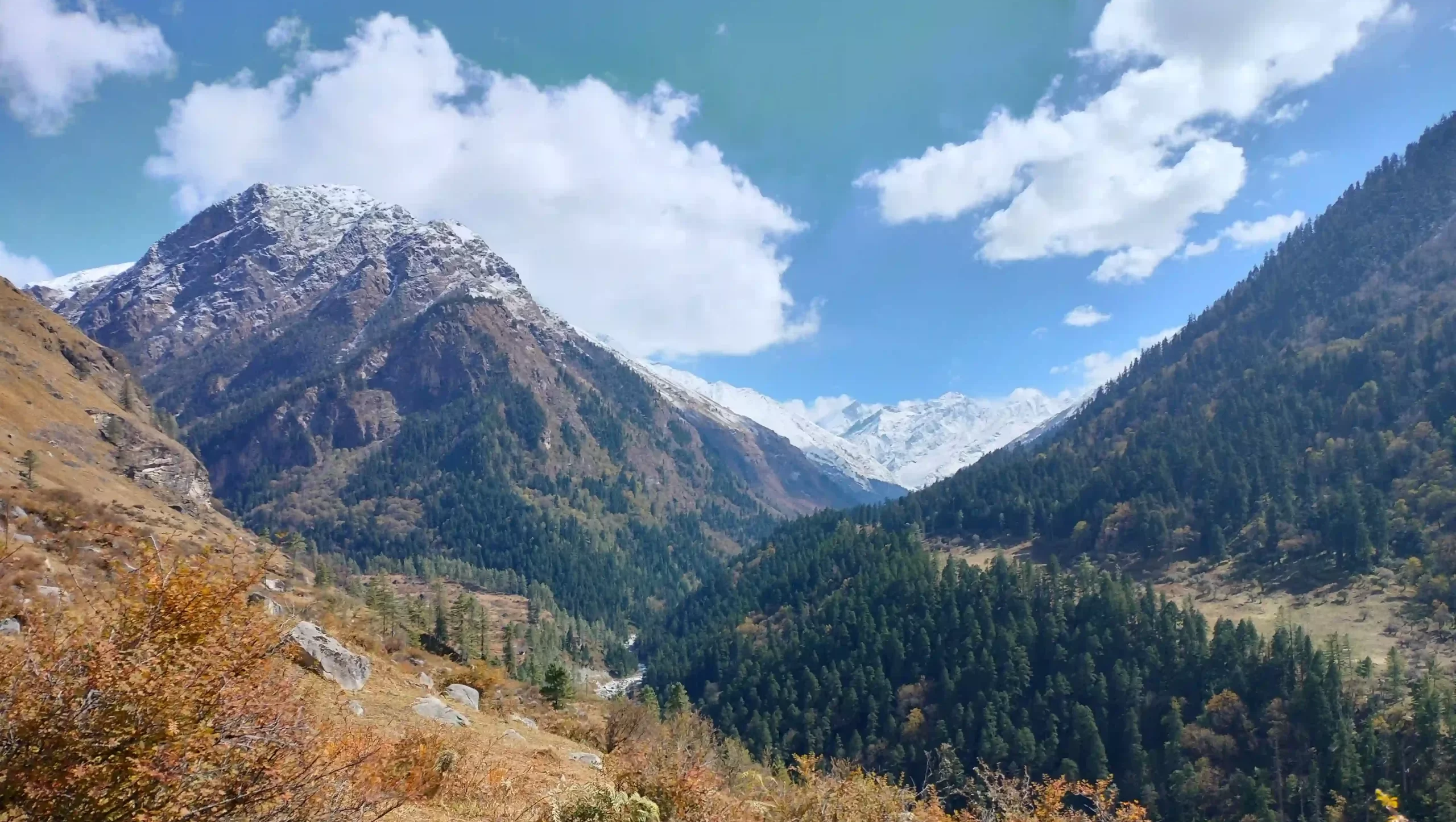
September 4, 2021
Valley of Flowers and Hemkund Sahib
A day wise visual blog from Valley of Flowers & Hemkund Sahib trek...
Read more
September 8, 2021
Uttarakhand - Your all year adventure destination
The “Land of Gods” is blessed with five distinct seasons. Read the blog to find out about Uttarakhand's all year adventures...
Read more
March 2, 2023
Unforgettable: Kashmir Great Lakes Trek in the Himalayas Explained
Embark on the Kashmir Great Lakes Trek, a unique journey exploring seven breathtaking alpine lakes amid Himalayan grandeur.
Read more
Oh my goodness! a tremendous article dude. Thanks Nonetheless I am experiencing situation with ur rss . Don’t know why Unable to subscribe to it. Is there anybody getting identical rss problem? Anyone who is aware of kindly respond. Thnkx