
Bali Pass A Visual Journey :
Visual excerpts from a journey to Bali Pass – a crossover trek at 4,900 meters!
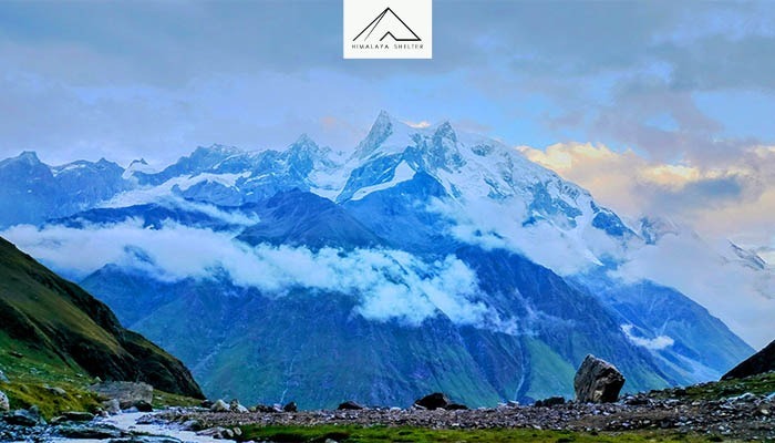
The legend has it, as per the epic Mahabharata, that the Five Pandava brothers-kings, after having successfully defeated the Kaurava’s in a great war that lasted for 40 days, made an attempt to ascend to Heaven from the mighty Swargarohini peak (20,512 feet) (literally translated as path/gateway to heaven), however only one succeeded. Taken from Bali pass trek base camp at 15,100 feet.

The Journey begins as we make our way to Sankri, a beautiful village overlooking lush step fields against a backdrop of thick forested areas.
We drive from Dehradun towards Mussoorie and then follow river Yamuna as we eventually make way into the Govind Wildlife Sanctuary and alongside river Tons. Tons is the biggest tributary of Yamuna river, with a greater water flow than Yamuna itself. The stretch between Mori and Sankri is a delight for kayaking and rafting activities.
From Sankri it is a 10 km- 1 hour bumpy drive, which often turns into a hike after a quick spell of rain or snow. As soon as we reach Taluka, the trek begins and we are welcomed by sight of Cholai crop fields, which are distinct by their red color.
It is a nutritious grain that has good quantities of Micro Nutrients and a well balanced proportion of Macro Nutrients, better than wheat and rice. The fondness of elders for this grain in this region and their fitness is a testimony to it.
Of the six villages in this valley called Har Ki Dun (Valley of Gods), chances are you missed the third village (with the first and second being Sankri and Taluka), Datmir, which is tucked high above the trail that we take from Taluka and make way to Gangad, situated 10 km further than Taluka.
Gangad is situated on the right bank of the river and it appears to be hanging overhead from our trail. The layering wood and stone architecture of houses here provides comfort against the cold and protection against earthquakes.
From here we proceed to village Osla the last in the valley. Its a beautiful village with close to 200 families inhabiting the village.
The trail to this village ascends close to 150 meters from the small settlement of Seema after crossing over on to the opposite back of the river Supin.
We continue on the left bank and take a course along the eastward stream of the two streams that meet to form the river Supin 2–3 km ahead. The northward stream and the trail beside it goes to the Har Ki Dun valley meadows.
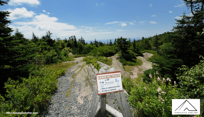
We walk almost 14 km today from Seema and camp an hour short of the magnificent Ruinsara Lake. The trail henceforth is a virgin trail, that is not frequented by trekkers. The lush vegetation is a testimony to its secluded nature.
The next day we proceed to make a short walk of about 3 km to Ruinsara lake. The abrupt halt in the pace is a good way to acclimatize to the high altitude.
The thick forest that we go through to reach the lake is a great habitat for Himalayan Black bears. I personally came across one up close in September 2015. Henceforth the chances of spotting Brown Bears become very high.
Ruinsara Lake, situated adjacent to the raging waters of river Supin, lying 100 meters below, next to the visible ridge (the ridge is covered in rhododendron forests).
Ruinsara lake is situated at an approximate altitude of 3,600 meters.
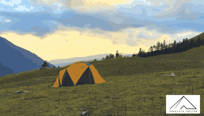
The next day we proceed to Thanga Campsite which again isn’t very far from here. We are required to descend down to the river bed and cross over on to the left bank and climb up again as we proceed further into the valley. We camp at a meadow that is among the last across this route.
We had come across some decent evidence of a recent visit to Thanga by brown bear and its cub/’s however despite making a further headway on the day we could not spot them.
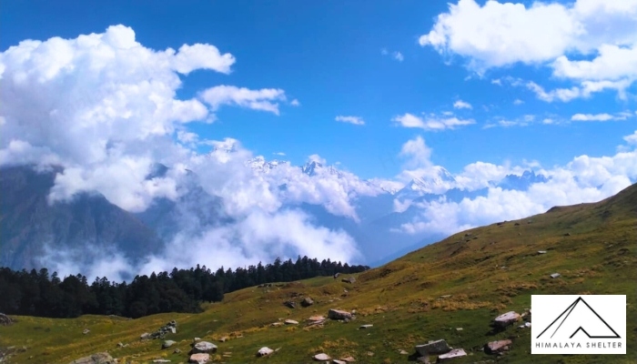
The trail takes a southward turn from here and climbs towards Bali Pass that leads into Yamunotri valley, alongside the originating glacier of river Yamuna. One can get a partial glimpse of the frozen Saptrishi Kund while descending the other side into the valley.
The ascent to Bali pass base is perhaps the hardest of all, but it does save us a lot of trouble on the consecutive day as we climb the pass.
We can get a good glimpse of the Bandarpunch peaks from the top of the pass. In the pic above the peak in the distant right is Banderpunch II among the Banderpunch Massif, while I is barely visible right behind it.
All camera batteries finally died by the time we got to Upper Damini. We descended in the evening to take a dip in the hot water spring at Yamunotri and returned to camp in the Jungle at Lower Damini. The consecutive day paid our tributes at Yamunotri temple and stayed overnight in a guest house at Janki Chatti.

About Author

Abhishek Sohu
I am an individual passionate about outdoors & adventure sports, with over 5 years of work experience related to Trekking. I have trekked extensively in the Uttarakhand Himalayas, alongwith Spiti, Ladakh, & Arunachal, covering many remote treks in the recent years. I aim to promote sustainable trekking practices in the Himalayas.
Recent news
10 Oct 2025
08 Oct 2025
07 Oct 2025
23 Sep 2025
22 Sep 2025
Recommended Treks

