
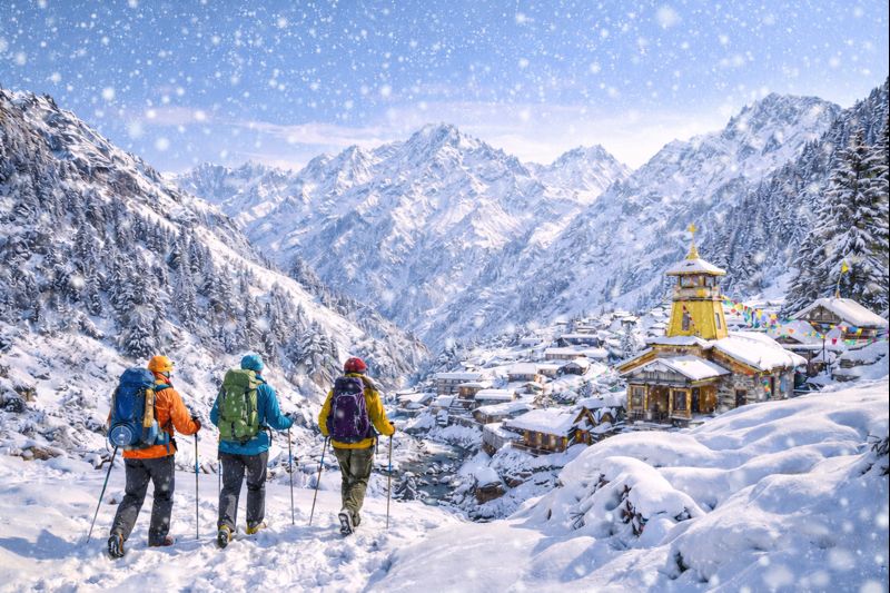
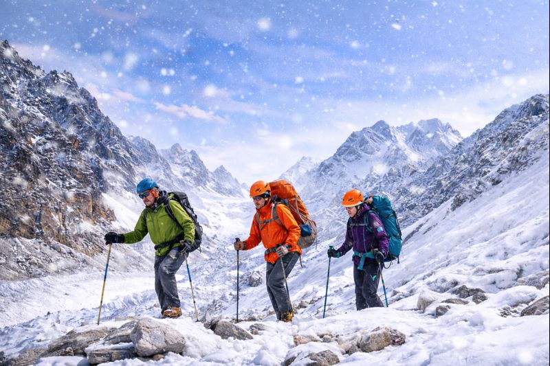
best apps for trekking in himalayas :
The summers are around & your plans for your next trek are underway. The date comes closer for that Journey to the base and you are worried if you have packed everything you need, and haven’t really missed anything, from clothing, toiletries, snacks or your favorite gadgets, such as that DSLR or GoPro, and an additional power bank. But you must have missed something, right? What about downloading the right set of applications on your phone? Wait! Now if you are someone who wants to completely disconnect and not employ any of these 21st Century gadgets, we still insist to go through the following list of applications, some of which can be a life saver and others will just help enhance your experience of the outdoors!
Our top 10 Applications for the Himalayas in India!
1. Maps.me
As the name suggests, Maps.me is an application for Maps, which works offline once you’ve downloaded the map for a particular state, such as Uttarakhand. The best part about the application is that it has most of the trekking trails and displays the route along with campsites. It can further tell you an approximate trekking distance between two points. Additionally it has Terrain layer which gives you approximate altitude as well. A must have for your next Himalayan journey!
2. c
If you’re a beginner trekker or someone planning an alpine style trek, this app can come really handy with a quantum of data from Making shelters out of a Poncho and Rope to basic medicine, or how to cross a river. This app works offline and can be useful when you’re stuck or lost your way. Sadly it is only available on Android Platform and not IOS.

3. First Aid
First Aid by the red cross society helps you with your response to various medical emergencies ranging from Minor Injuries and Illness to other severe situations. If you do not know about basic Medicine or First aid, its good to download this app before you set out for the wilderness.
4. Star Walk 2
Everyone loves the moon, but only those who have seen the Milky way from their naked eyes, do they understand the unmatched beauty of the night sky during a new moon. Star Walk 2 helps you with identification of different constellations, planets and locating the Milky Way.
5. Phases of the Moon
A very simple app that helps to check out various phases of the moon, along with moon rise and moon set to be able to plan your trip based on your preference, and of course what time you should get out of the tents in the night to capture the Night Sky.
6. Peak Finder
Let’s admit it, once we have reached the summit or a vantage point during our trek in the Himalayas, we come across several snow capped peaks, and we argue among ourselves or the locals about what peak it is. Well there is an easy and more accurate way. Peak finder works just like Star Walk and based on your GPS location it helps you identify the peaks from where you’re standing. Sadly, it is a paid app and would require you to purchase the app from the App Store, but its totally worth it!

7. PlantNet
We have so far located the Milky Way, found the name of the peaks before us, but there is something we surely missed on our way to the Top! The countless flowers that bloom across the Meadows can now be named. PlantNet helps you identify the Plant species based different parts of the Plant, be it leaf or flowers. The App however, works only with internet connectivity, so you will have to wait to come back into network zone to be able to identify the plant based on the pictures your took during your journey.

8. Merlin Bird ID by Cornell Lab
Many trekkers flock to the mountains to explore the vivid flora and fauna. Numerous bird species can be located in the Himalayas. However to be an expert on being able to identify these birds is rather very difficult. This is where the Merlin Bird ID app comes into play. With a database of over 4000+ species of birds, it surely will help you along the way.

9. Google Maps
The most familiar app in the list has some hidden or rather less explored features, namely Terrain & Satellite Maps. It is remarkably handy to download offline maps for the area you are headed in, to find road routes and while on the trail the terrain maps & satellite maps help you with altitude (as GPS works very well in open spaces), spotting trail, campsites etc. It does take a while getting used to the features. If you know how to read a terrain map, you will be able to identify routes, campsites etc with ease over time.

10. Useful Knots
The second App in our list that is available only for Android, but a really handy app which teaches you how to tie different knots, given that you’re carrying a rope, which you always must, as a small rope can go a long way in helping you in tough situations such as making a shelter out of Poncho, or repairing a damaged rucksack etc. Thinner ones can work as substitute for laces too! So carry ropes with 2-3 mm and 5-7 mm in diameter, and be sure to download the App, to impress those around with your knot skills!
Compass
Last but not the least, Compass is a very basic app that mostly comes in built in a lot of phones, but it doesn’t hurt to make sure your phone has one, to be able to easily identify the directions while out in the wilderness. Especially when you’re in a dense forest area, does a Compass comes in handy to find your directions.
About Author

Abhishek Sohu
I am an individual passionate about outdoors & adventure sports, with over 5 years of work experience related to Trekking. I have trekked extensively in the Uttarakhand Himalayas, alongwith Spiti, Ladakh, & Arunachal, covering many remote treks in the recent years. I aim to promote sustainable trekking practices in the Himalayas
Recent news
03 Jan 2026
23 Dec 2025

20 Dec 2025