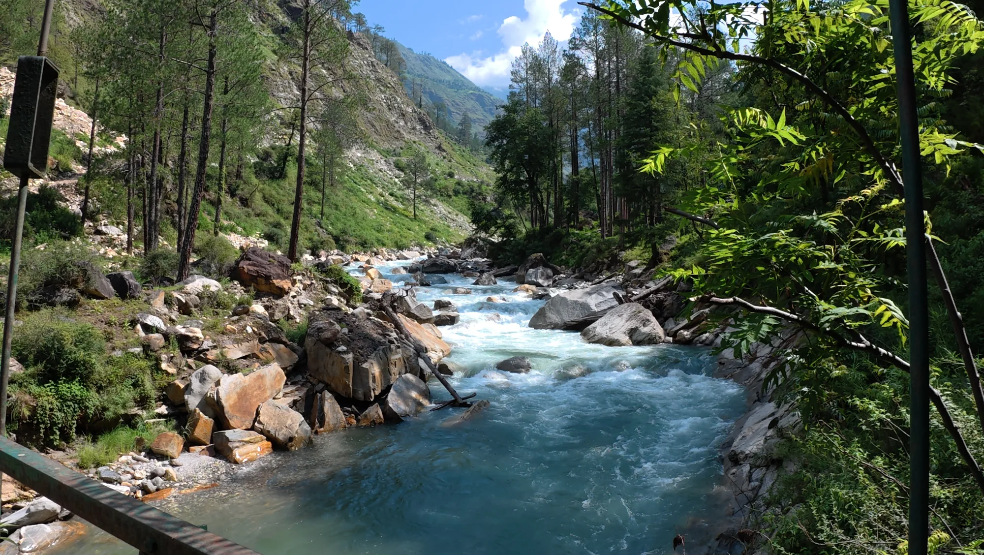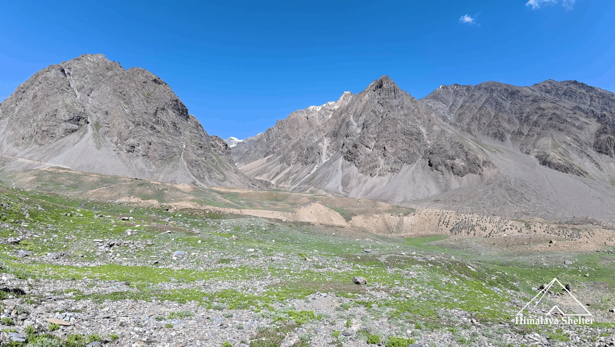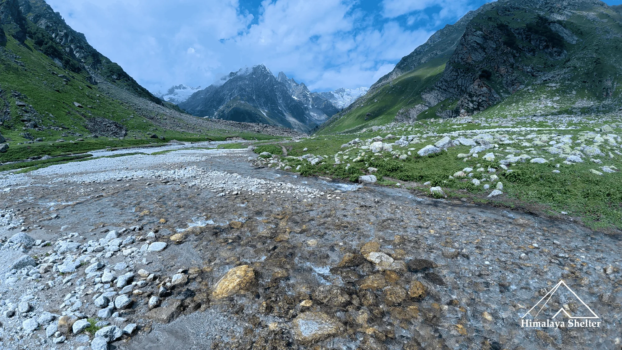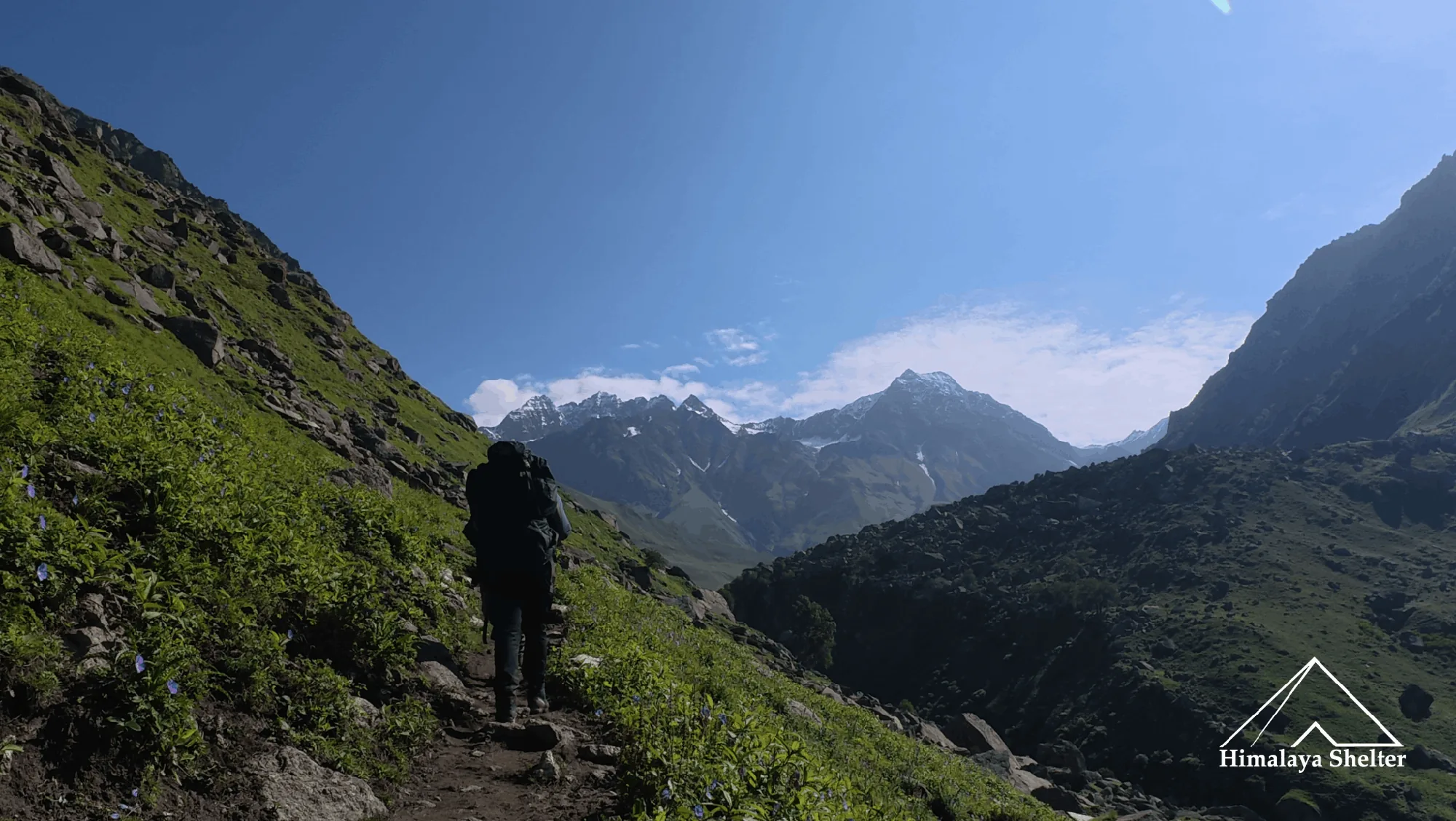
From Rupin Pass to Dhumdhar Kandi | A 75 Day Great Himalaya Trail Circuit
Trek Diaries

From Rupin Pass to Dhumdhar Kandi | A 75 Day Great Himalaya Trail Circuit

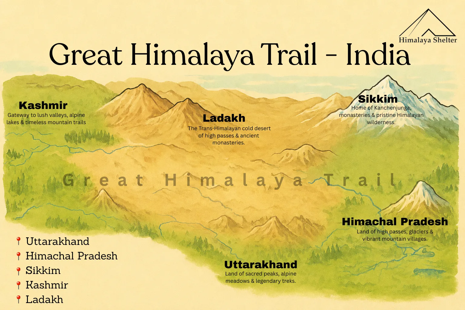
The Great Himalaya Trail is a long distance trekking route which connects one mountain range to another, one region to another, one valley to another and one state to another. The Great Himalaya Trail is the main line of the Himalayas which covers Pakistan, China, India,Tibet, Nepal and Bhutan. As we know, the Himalayas work as borders between these countries. So covering the entire Great Himalaya Trail in one go is not possible. So the Great Himalaya Trail is done in sections. Right now we are in GHT India.

 In India, the great Himalayan Trail starts from Kashmir to Ladakh to the Spiti, the Lahual, and the Kinnaur region of Himachal Pradesh to the Garhwal and the Kumoan Region of Uttarakhand. This trail can’t be connected with Sikkim Himalayas because geographically Nepal comes in between so crossing the country's border two times is not permitted. So we divided the trail in sections and made different itineraries which cover major areas of the Himalayas. 

 We are starting Rupin Pass Trek to finish in Dhumdhar Kandi Trek which is one of our GHT Itineraries. In this, we are covering major treks of Himachal Pradesh. This itinerary is creating a big circuit of 480 to 500 km in which we are starting trek from Rupin Pass then going to Pin Bhaba Pass, Kanamo Peak, Pin Parvati Pass, Miyar Valley, Buran Ghati, Fachukandi Pass, Bali Pass and last Dhumdhar Kandi. 

The Himalayan Ranges Across The Route

 This Itinerary mainly covers the Great Himalayan Range and the Zanskar Range. Except for the Kanamo Peak trek, all are in the Great Himalayan Range.  

 Treks in Great Himalayan Range

  1. Rupin Pass Trek 

  2. Pin Bhaba Pass Trek

  3. Pin Parvati Trek

  4. Miyar Valley Trek 

  5. Buran Ghati Trek

  6. Fachukandi Pass Trek

  7. Bali Pass Trek

Treks in Zanskar Range

  1. Kanamo Peak(Spiti Region)

This Great Himalaya trail expedition traverses the Great Himalaya Range and the Zanskar Range while passing through several regional Himalayan sections, including the Shimla Himalaya, Kinnaur Himalaya, Spiti Himalaya, Lahual Himalaya, Kullu Himalaya, and Garhwal Himalaya. 

Our first Chapter is Rupin Pass Trek

Rupin Pass Trek

It starts from Dhaula village which is in Govind Wildlife Sanctuary and trek to Sewa which is just 4 to 5 kilometers. Dhaula is 237 km away from Dehradun and Dhaula  is very near to Sankri, so on the first day we stayed in Sankri.

Dehradun to Sankri

The journey from Dehradun to Sankri is spectacular. You will get glimpses of the Great Himalaya from Mussoorie. Mussoorie is a very famous hill station that gives views of peaks such as Mt Bandarpunchh, Mt Swaragarohini and Gangotri groups. After getting down from Mussoorie, you will see the big Kempty waterfall. 

Then the road winds towards Nainbagh and Yamuna river flowing along the road. If you come to another road Vikasnagar, you will see Yamuna and Tons river confluence at Yamuna Pull. And you will move forward with the Yamuna river. Then you will cross villages such as Damta, Naugaon, Purola. After Purola, it feels like a change in the world. Because now the road is covered with tall chir (pine) trees, the forest here looks very calm and pleasant. After that the road heads towards Mori. here you are with Tons river. After it you cross Netwar village, then reach Sankri.

About Sankri 

Sankri is a very famous village among trekkers. It is situated in Govind Pashu Vihar wildlife sanctuary which is in Uttarkashi district of Uttarakhand. Sankri is the gateway of many treks such as Kedarkantha, Phulara Ridge, Bali Pass, Fachukandi Pass and so many day hikes.

The altitude of Sankri is 1,950 meters. It is home to flora and fauna. You can see trees such as chir pine, devdar, golden oak, walnut tree, and apple orchards. You can also see different species of birds such as Himalayan Black Bulbul, different species of sparrows such as russet sparrow, etc, black headed jay, blue magpie, greenfinch, etc but they are more visible during spring and summer season. The sankri village looks different in every season. The villagers follows Garhwali culture. People have wooden and stone houses but they are accepting modern techniques so cemented houses are also seen. These regions also have festivals such as ‘ashad ki Jatra’ in July every year.

Sankri to Dhaula and Dhaula to Sewa

It is drive from Sankri to Netwar and roads winds on left side towards Dhaula which is around 14 to 15 KM from Netwar vilage. The Dhaula is on river bank of the Rupin. From here the trail goes opposite to flow of Rupin river.  The trail to Sewa is north facing so because of that this trail has less and smaller trees due to this on sunny days it is very hot and harsh. And here we walk in Rupin Valley, it is also Kunwar valley. 

After some time the trail leads to the Dhantedhar village which very beautiful and also other villages are seen, in front of it is Dundi which also called Parvat Belt but it another side of Rupin which is also the trail of Rupin Supin trek and behind Parvat Belt is Sankri. And down of it is Khanna and its left side is the Gaulook. After that we enters in Sumer Valley. The Sewa village comes after three villages. It has beautiful architectural Sherkuriya temple. 

The thing is nobody expect that Rupin Valley have several remote villages. Here local has their own farming and cattle. In farming, they apple orchards, pears orchards and peach orchards, also there are so many walnut trees on the way. The Sewa village also has electricity and network(Airtel and BSNL). 

Sewa to Jakha

From Sewa, you trek along with Rupin river. We starts walking in apple orchards and then it enters into forest trail. The trail is covered with pine, oak, walnut, and so many bushes like ferns, golden flowers, etc. The distance from the Sewa to the Jakha is 17 km. Here the walking is continue along Rupin river till the road head. From here the roadway, you can also go till Jiskun with vehicle here. 

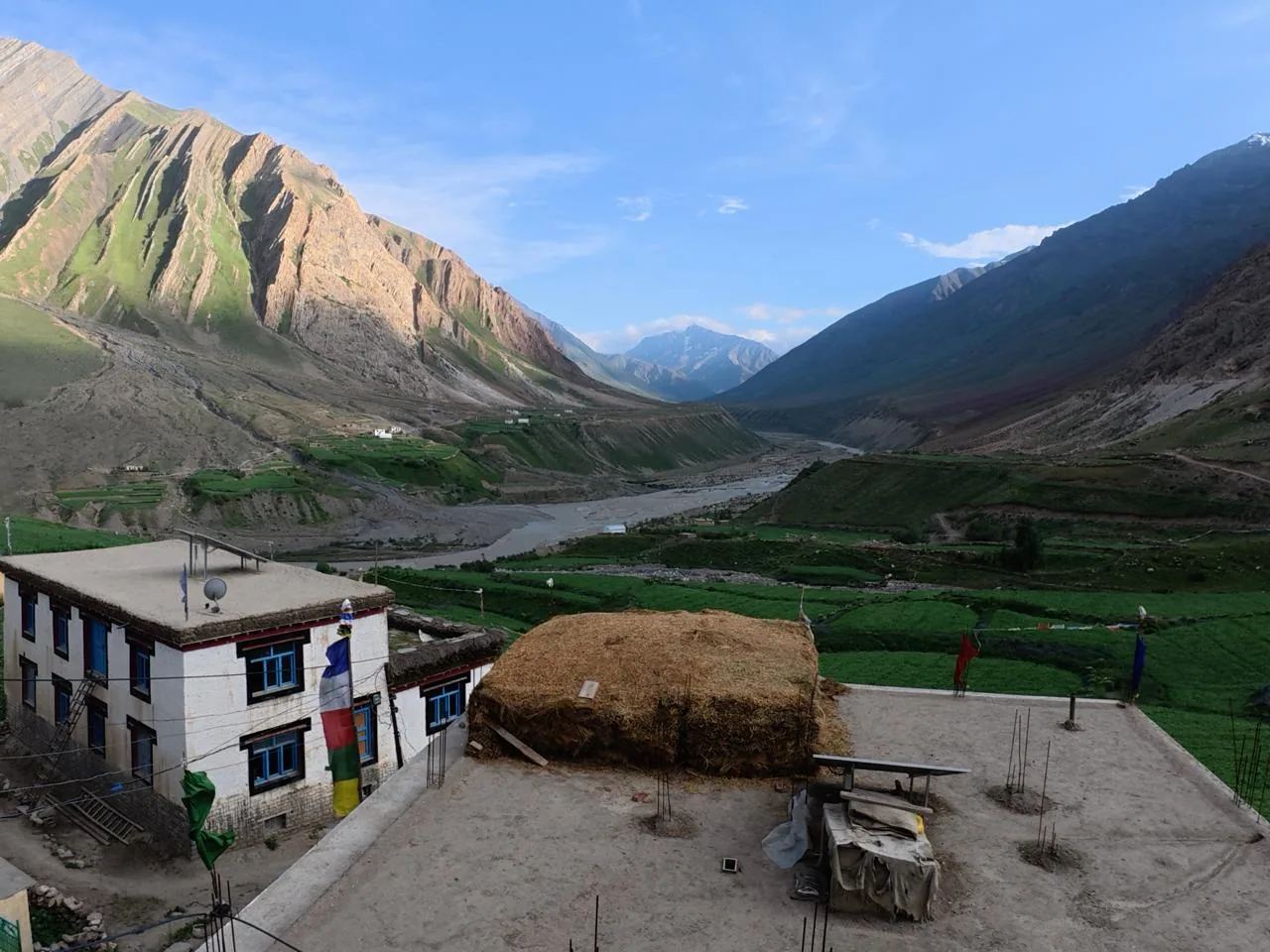
As we reach the road, we need to go right and straight walk on road. Here we see the wide view of Rupin valley which have so many mountain villages. And now the rupin river is more turquoise more beautiful. On the way you will also get to see waterfall. Then after two villages, Jakha village is in view, it is also called the Hanging village, it is small village and settled on height. The Jakha village is literally incridibly beautiful.

Jakha to Dhanderas Thatch 

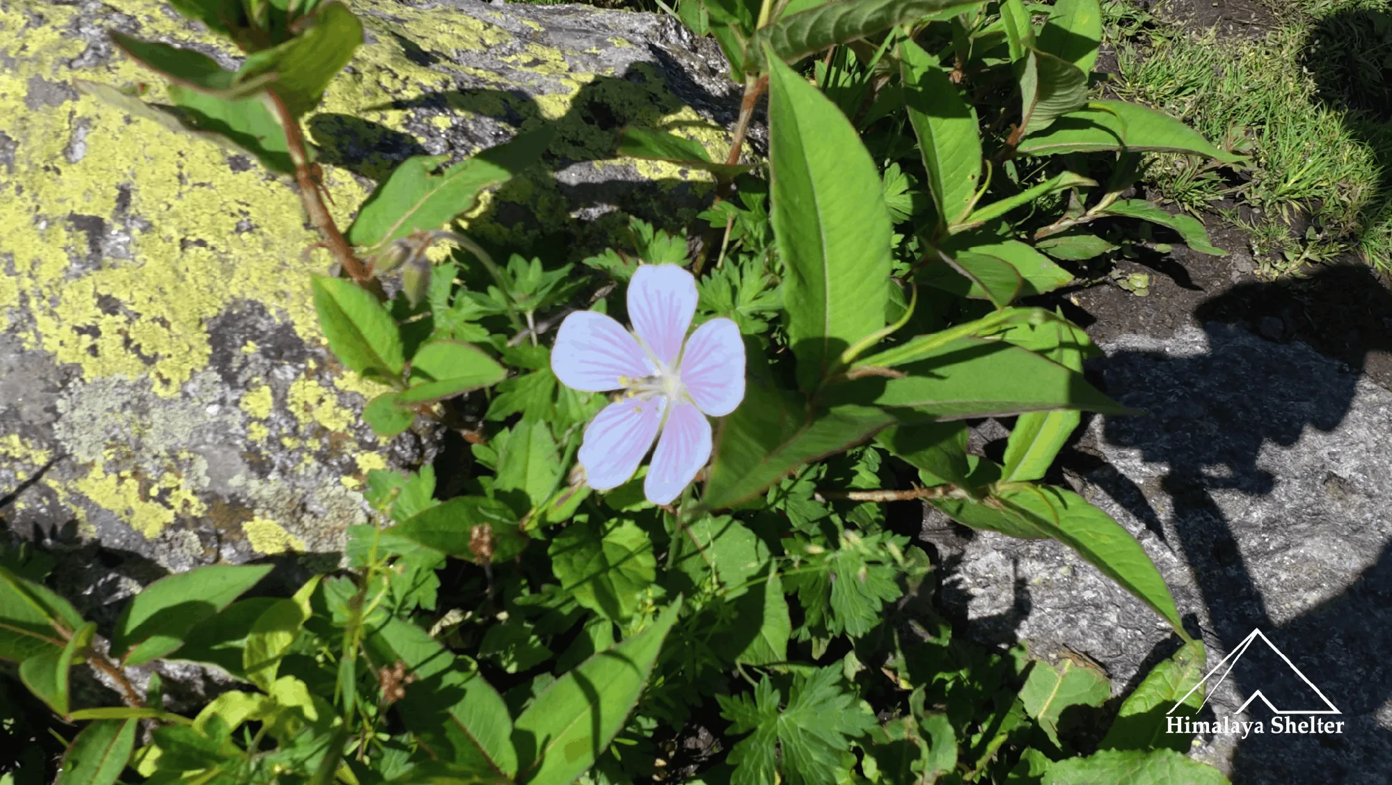
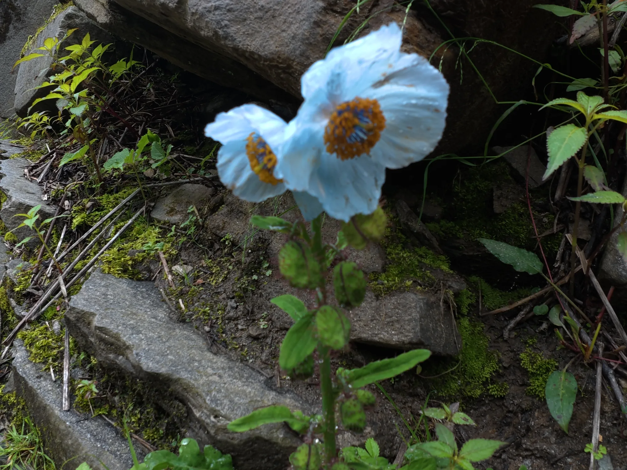
 It is the day of transitions, Rupin Pass is the valley trek and also the pass trek, till Dhanderas thatch we walk into valley along with Rupin river. From Jakha first we trek along with farms of apple. Here the river is deep down into the valley but the roaring sound is still audible. After some walk, the trail enters into a forest of blue pine, oak, maple, birch, etc. During this way so many Himalayan wild flowers are also seen such as bistrota, balsam, himalayan blue poppy. This trail welcomes you with riverside windflowers, it is present on both sides of the trail.  After the trek in deep and dark blue pine forest, the trail takes you down to Rupin river. There is one bridge here it needs to cross the river and the direction of the trail is completely changed; in other words the valley takes the turn. This place is called the Udaknaal.

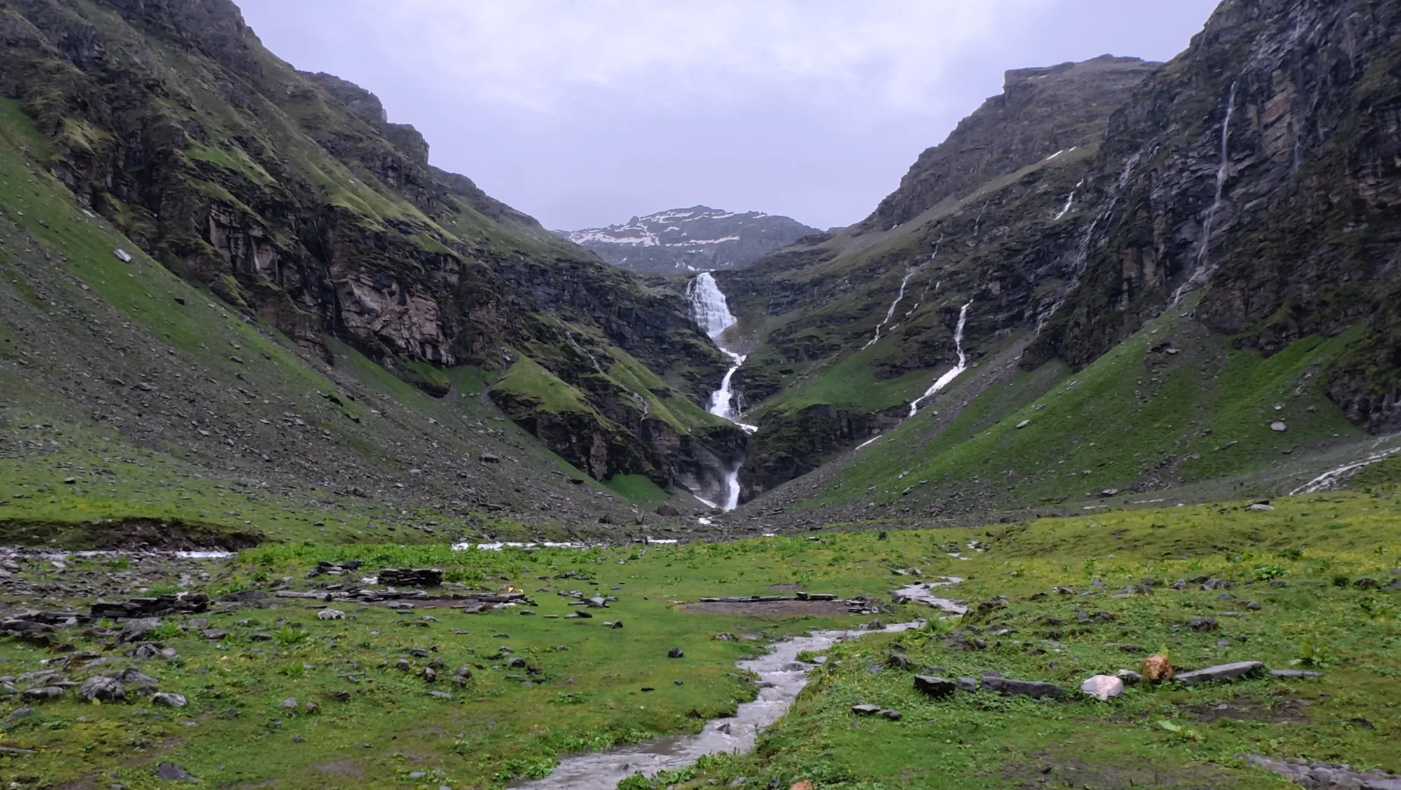
Ever seen the valley take a turn, here the valley takes a turn in which you walk till the Buranskandi where you get the first glimpse of Rupin waterfall. And so many side waterfalls. Here you will see so many cows and cattles doing grazing. After some walk the trail reaches at altitude 3500 meters to Dhanderas thatch which gives wide beautiful views of Rupin waterfall lower and upper both and its surrounding approx 14 to 15 small waterfalls are there. Here the thatch means wide green meadow field. 

Dhanderas Thatch to Upper Rupin Waterfall
rupin waterfall

Now the rocky trail and steep climbs starts with the actual adventure and thrill. The trek starts with steep climb on big size moraines. First encounters with steep stream which needed to cross. Then the trail reaches on top of lower waterfall, from there if you see behind there is wide view of Rupin valley. Now here the extreme adventure is river crossing. From here after crossing the river after a steep climb you reach the Upper Rupin waterfall campsite which is at 4000 meter altitude and it is also a meadow field. From here the rupin pass is 4 km. Here the view are dark because here you are at 4000 meters so you will see big rocky mountains with snow patches and stream coming on from rocky slopes.

Upper Rupin waterfall to Rontigad via Rupin Pass
flowers in rupin pass trek

This is the day to cross Rupin valley and enter Sangla Valley. The trail from Upper Rupin Waterfall continues to ascend till the pass. Here the mountain teaches many things like fighting with frustration due to high altitude. The Himalayas are very sensitive mountains. The geography of the Himalayas changes suddenly. This time the rocks of the pass are broken so here are the chances of rock falling. It gives extreme adventure, it gives realisation that you are doing the Great Himalaya Trail. 

After crossing the Pass, there are different landscapes. After crossing the Rupin Pass, the Kinnaur Kailash range gives beautiful views. Now the trail is in Sangla Valley which is perfectly beautiful here. The trail goes through alpine meadows filled with Himalaya wildflowers and there are endless streams on the other side of the valley and your side of the valley. Here you will see many Gadi shepherds. And the Rontigad Campsite is very beautiful which is on upper valley. 
About Rupin River

river in rupin pass trek

The Rupin river is a high glacial river which originates from Rupin Pass at 4,500 meters. It is on the border of Uttarakhand and Himachal. It merged with Supin at Netwar in Uttarakhand and became Tons here which later merged later with Yamuna. The Rupin Pass comes in Greater Himalaya so basically the Yamuna is the river which comes from Greater Himalaya. 

About Baspa River

The Baspa River flows in Sangla Valley or Baspa Valley in Kinnaur district. It comes from near Indo-Tibetan and then get merged into Sutlej in Karcham. It fed water to many villages such as Karcham, Sangla, Chitkul etc. It also comes from the Greater Himalayas. 

Flora of Rupin Pass Great Himalaya Trail

Rupin Pass Trek is rich in vegetation at every altitude. 

Trees such as:

  • Walnut Tree

  • Apricot Tree

  • Oak Tree 

  • Blue Pine tree 

  • Chir Pine tree

  • Maple Tree

  • Rhododendron tree

Our Next Chapter is Pin Bhaba Pass Trek

pin bhaba pass trek

Rupin Pass is Completed, Now the Great Himalaya Trail is in Baspa or Sangla valley, After taking 70 km drive the trail reaches to Kafnu which is in Baspa Valley but both Sangla Village and Kafnu village are in Kinnaur region of Himachal Pradesh.

During this drive we see the confluence of Baspa river into Sutlej river at Karcham. After some miles, there is a turn towards Kafnu from Wangtuk Bridge. The way toward Kafnu is also very amazing.

Now the trail reaches Kafnu. Kafnu is a beautiful village and it is very deep into the valley, still very developed. The valley is rich with apple orchards. Kafnu is the starting point of Pin Bhaba Pass trek. 

About Pin Bhaba Pass Trek

trekking in Pin Bhaba Pass

Pin Bhaba Pass connects Kinnaur region to Spiti region at altitude 4,900 m. Pin Bhaba is the joint name of Kinnaur side Bhaba and which gets connected with Pin valley so it is Pin Bhaba. In this trek, you walk along Bhaba River and another side of the pass you walk along Pin River. 

The Pin Bhaba Pass trek is very beautiful part of the Great Himalaya Trail.

It starts from Kafnu trail and reaches to Muling Camp.

Kafnu to Mulling(3250 m)

pin bhaba pass trek

The trail to Muling campsite is so beautiful and relaxing. The turquoise Bhaba river flowing deep down into the valley along you all the way. The trail is covered with oak, deodar, pine, and maple trees, dense forest and the open meadows welcomed with white windflower and red cinquefoil. Many waterfalls and streams are seen on the way. The Muling campsite is a very beautiful riverside campsite from the campsite Silangchi Mahadev glacier is visible which is a big hanging glacier. The Campsite is on wide meadows.

Mulling to Phutsirang(4100 m) via Kara(3,550)

The way to Pushtirang is transitional due major height gain. First it goes from blue pine forest and then it opens to a large wide open alpine meadow at Karah. After Karah it needs to cross multiple streams together after it the trail goes upwards. On this way you go through the alpine which have sheet of alpine wildflowers such as Bistorta, Himalayan Cranesbill, and many more. After some kilometers and crossing some boulder areas and streams you reach Pushtirang campsite and the amazing part of Pushtirang campsite is that it is on river delta. From here the Pin Bhaba summit is 5 Kilometers. The Pushtirang campsite is very dramatic and on lush green alpine meadows.

pin bhaba pass trekking

Pin Bhaba Pass(4900 m)

After 5 kilometers continue ascending from Pushtirang campsite you reach the Pin Bhaba Pass summit. That ascend of 5 kilometers asks endurance. As you reach the summit, you see two different worlds here. Your back side is green Kinnaur and in your front it is brown Zanskar range and Spiti region. There is a big peak attached which is unnamed and has a huge hanging glacier. It looks great. Here as you cross the Pass world changes.

Trekking in Spiti Region

After the pass you trek in Pin Valley in the Spiti region. This area gives brown views with sheets of different color shades such as Purple, red and little green. When you walk through the Pin Valley, your eyes will see so many colors of stones. 

The Spiti region comes under the Trans Himalayas Range. Spiti region is also a rain shadow area which means less rain. It is developed at high altitude in cold deserts. 

Our Next Chapter is Pin Parvati Pass Trek

The name of Pin Bhaba and Pin Parvati is quite similar because both treks are situated in Pin Valley. In Pin Bhaba two rivers are flows, Pin river and Bhaba river and Pin Parvati has two rivers, Pin River and Parvati River.

The Pin Parvati Pass trek is situated in two regions Spiti and Kullu of Himachal Pradesh. The Pin Parvatti trek starts from Barshaini near Manali and ends in Mud in Spiti.  The altitude of Pin Parvati Pass trek is 5,900 m which is not less than expedition.

About Mud Village

mudh village in pin parvati pass trek

Mud is the last inhabited village of the Pin Valley.  It is situated at an altitude of 12,452 ft. The Mud village is situated deep into the Spiti region. Here the road ends but now roads are constructed after Mud also and the road from Mud is reaching to Kafnu through the Pin Valley. The village is surrounded by high rocky dry mountains.

Mud is not in central Spiti. Actually central Spiti is more dry and barren. So in the summer season Mud remains green. The land also remains fertile for the fields of peas, potatoes and barley.

The village house is made of Mud and painted with whitewash and has blue and red color framed windows. Here you will see fluttering Tibetan Prayer flags. This Spiti region people follow Tibetan Buddhism. The village has a dozen families.

The Pin Valley national park starts from Mud village which comes in protected areas of Trans Himalayan region.

About Pin Valley National Park

There are two treks in Pin Valley National Park. One is Pin Parvati Pass trek and Pin Bhaba Pass but only the Spiti side of the trek comes in this national park. 

The National Park have rare wildlife such as:

  1. Snow Leopard

  2. Bharal( blue pseudo ship)

  3. Himalayan Fox

  4. Red Fox

  5. Himalayan weasel

  6. Golden Eagle

  7. Bearded Vulture

Pin Valley National park has so many alpine birds such as yellow billed chough, several species of sparrow and many more.

The Pin Parvati Pass trek can be done from either Kullu  side or Spiti. The trek is considered very tough. But if you go from the Spiti side, it is easy. Here you start from 12,500 ft altitude and there you start from 7,500 ft.

In our Great Himalaya Trail, we started from Mud. 

Mud to Chinpat

way to pin parvati pass

Before it was 12 km. Now here is the road. So it is a 5 km trek. The trail goes along the Pin river. Before the campsite. Parvati river which is coming from Pin Parvati Pass merges to Pin river which comes from Pin Bhaba Pass. During summer you will get to Gaddi Shepherd on the way. Summer is the best grazing month for sheep and goats. Here the grass is considered very good for them.

Chinpat to Pin Parvati Base Camp

streams in pin parvati pass trek

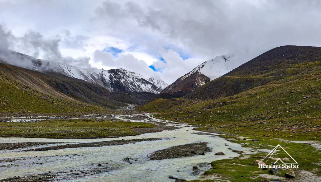
The trail to Pin Parvati Base camp is gradual, not down and not continuing. It is a 12 km trek in which you have to cross two big streams. There are lots of streams to cross. These are created directly from accumulated snow.

The trail is also very narrow. One side is a mountain with loose rocks and the other side deep down Parvati river roaring. But it is mangeable. After some walk pass is visible. There are two passes visible but your right is Pin Parvati Pass. On the way you will get to see so many shepherd houses with groups of sheep and goats. But the trail of the last 2 km is also very thrilling because it is very narrow with loose rocks above. This trek does not have big camping areas. So the base campsite is also the place of a shepherd. So it is like a living Gaddi shepherd. This also gives opportunities to interact with people like them who are living a very city cut life.

Well, the campsite is very beautiful with a view of Pin Parvati Pass and seeing so many streams coming down with both passes. The altitude of Pin Parvati Base is 4200m. 

The Way to Pin Parvati Pass

gully in pin parvati pass trek

It is 2.5 km to 3 km approximately from base camp which you gain 1,100 m that means you gain 1 meters altitude in 3 m walk. So fast ascend. The trek to pass starts crossing icy water streams. After continuing ascend there is one glacier which is the source of Parvati river. The glacier needs to cross to reach the pass. If you go to the other side of the Pass it is very green. It feels very blessed and spiritual at the pass because it has a high altitude of 5,300 m which is very raw and pure.